Channel & Berth Profile
Facilities & Capabilities
Container—
Ro-Ro—
Liquid bulk—
Dry bulk—
Oil terminal—
Break bulk—
Dry dock—
RepairsNO
Bunkering—
Rail link—
Dangerous cargo—
ISPS security—
Harbour Specifications
Harbour size
Very Small
Harbour type
Coastal (Natural)
Shelter
Poor
Water body
North Atlantic Ocean
Tidal range
13 m
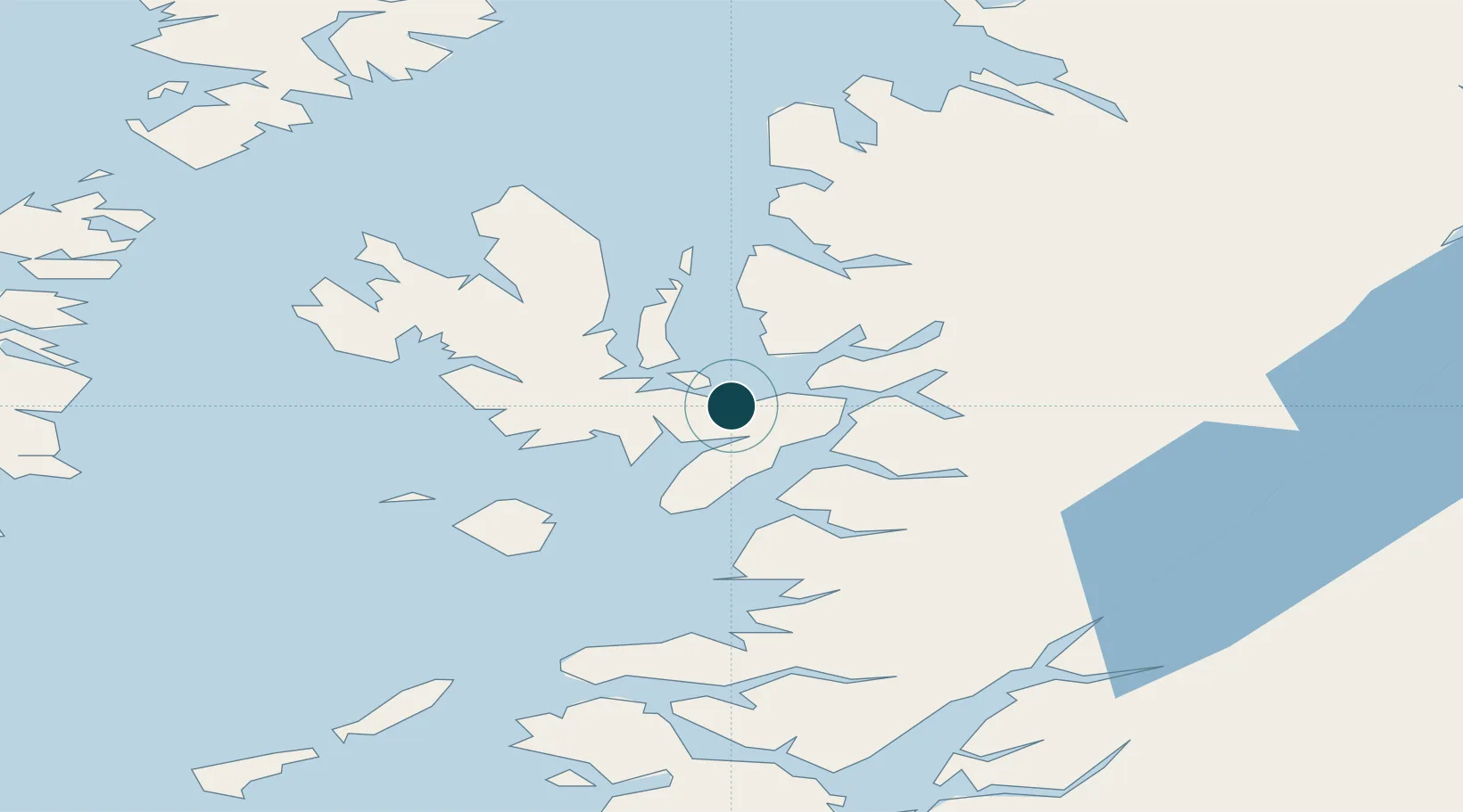
Location
Nearby Logistics Neighbours
Ports
- 1Kyleakin9 km
- 2Kyle Of Lochalsh11 km
- 3Plockton17 km
- 4Portree Harbor27 km
- 5Mallaig28 km
Cities
- 1Kyleakin9 km
- 2Kyle of Lochalsh10 km
- 3Strathaird14 km
- 4Clachan, Raasay14 km
- 5Sconser, Isle of Skye15 km
Airports
- 1Coll Airport85 km
- 2Oban Airport92 km
- 3Benbecula Airport92 km
- 4Barra Airport97 km
- 5Tiree Airport103 km
Trade Zones
DatabookThe Record of Consolidated Knowledge
United Kingdom beyond logistics?