UN/LOCODE hub · United Kingdom
GBSZT

Snizort

57.4833°, -6.3167°
1
Transport functions

Transport Functions

Port
UN/LOCODE

Hub Profile

Region
HLD
GeoNames

Location

Location of GBSZT
Natural Earth 10m (public domain) · HLD · GBSZT · 57.48, -6.32GoogleOSMYandex

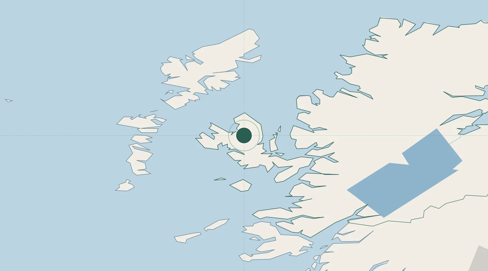
Nearby Logistics Neighbours

Cities
  1. 1Palnackie11 km
  2. 2Portree11 km
  3. 3Uig12 km
  4. 4Bracadale16 km
  5. 5Dunvegan17 km
Nearest neighbours — logibook spatial index (haversine) over the source coordinates
Ports
  1. 1Portree Harbor10 km
  2. 2Uig11 km
  3. 3Broadford Bay37 km
  4. 4Kyle Of Lochalsh42 km
  5. 5Kyleakin43 km
Nearest neighbours — logibook spatial index (haversine) over the source coordinates
Airports
  1. 1Benbecula Airport63 km
  2. 2Stornoway Airport81 km
  3. 3Barra Airport85 km
  4. 4Coll Airport100 km
  5. 5Tiree Airport114 km
Nearest neighbours — logibook spatial index (haversine) over the source coordinates
Trade Zones
  1. 1Prestwick Airport Free Zone243 km
  2. 2Carlisle Kingmoor Park Enterprise Zone351 km
  3. 3Isle of Man Free Zone and Business Park392 km
  4. 4Dublin International Financial Services Centre460 km
  5. 5Blackpool Enterprise Zone461 km
Nearest neighbours — logibook spatial index (haversine) over the source coordinates
DatabookThe Record of Consolidated Knowledge
United Kingdom beyond logistics?
Browse databook

All Sources

LocationsUN/LOCODE
UN/LOCODE — free
Portsthe NGA World Port Index
Public domain (US gov)
AirportsOurAirports
Public domain
Trade Zonesthe World Bank SEZ database
CC BY 4.0
Trade ZonesOpen Zone Map
CC BY
← United Kingdom locations