Transport Functions
Port
Hub Profile
Region
AGB
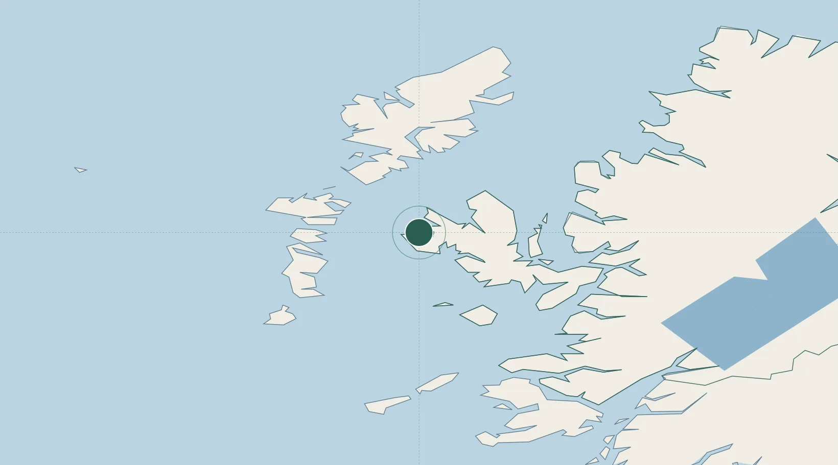
Location
Nearby Logistics Neighbours
Ports
- 1Uig24 km
- 2Portree Harbor30 km
- 3Lochmaddy32 km
- 4Tarbert49 km
- 5Lochboisdale51 km
Airports
- 1Benbecula Airport41 km
- 2Barra Airport67 km
- 3Stornoway Airport86 km
- 4Coll Airport96 km
- 5Tiree Airport108 km
Trade Zones
DatabookThe Record of Consolidated Knowledge
United Kingdom beyond logistics?