Transport Functions
Port
Hub Profile
Place type
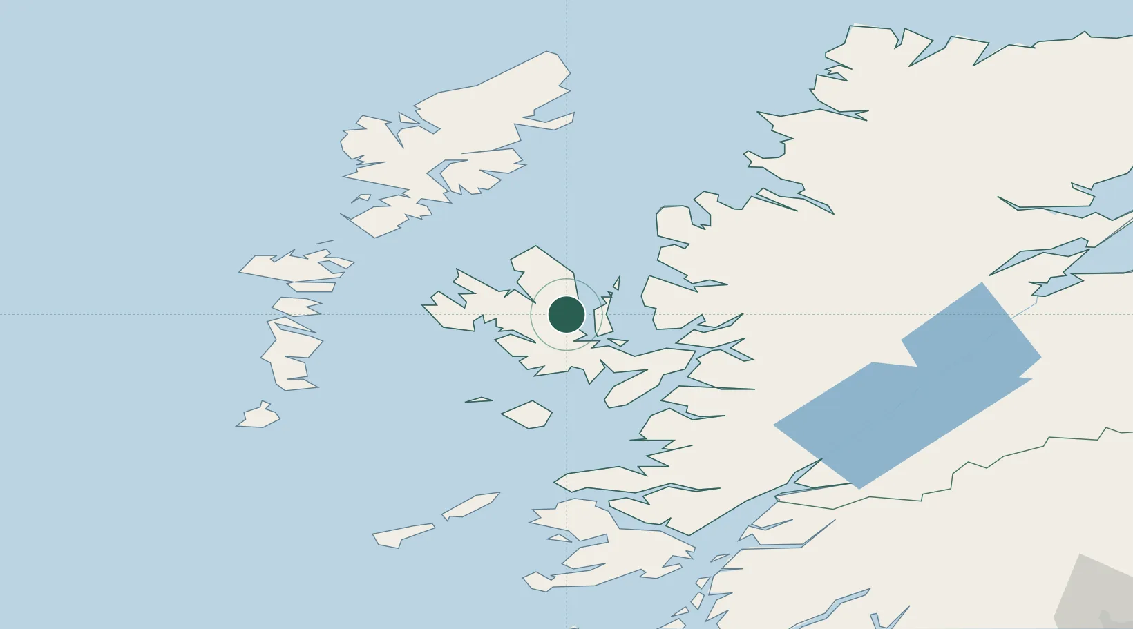
Populated place
Region
Scotland
Population
2,410
Time zone
Europe/London
Elevation
15 m
Location
Nearby Logistics Neighbours
Cities
- 1Palnackie0 km
- 2Snizort11 km
- 3Clachan, Raasay12 km
- 4Sconser, Isle of Skye14 km
- 5Bracadale15 km
Ports
- 1Uig21 km
- 2Broadford Bay26 km
- 3Kyle Of Lochalsh32 km
- 4Kyleakin32 km
- 5Plockton33 km
Airports
- 1Benbecula Airport71 km
- 2Barra Airport88 km
- 3Stornoway Airport89 km
- 4Coll Airport94 km
- 5Tiree Airport110 km
Trade Zones
DatabookThe Record of Consolidated Knowledge
United Kingdom beyond logistics?