Transport Functions
Port
Hub Profile
Place type
Populated place
Region
Scotland
Time zone
Europe/London
Elevation
6 m
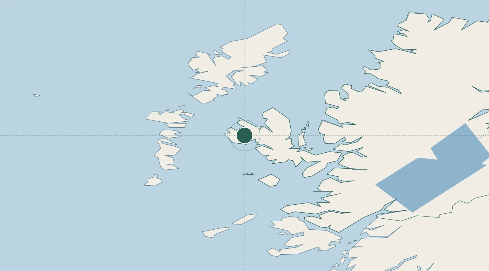
Location
Nearby Logistics Neighbours
Cities
- 1Dunstaffnage7 km
- 2Bracadale14 km
- 3Snizort17 km
- 4Uig21 km
- 5Palnackie24 km
Ports
- 1Uig22 km
- 2Portree Harbor23 km
- 3Lochmaddy40 km
- 4Broadford Bay47 km
- 5Lochboisdale53 km
Airports
- 1Benbecula Airport47 km
- 2Barra Airport69 km
- 3Stornoway Airport88 km
- 4Coll Airport93 km
- 5Tiree Airport105 km
Trade Zones
DatabookThe Record of Consolidated Knowledge
United Kingdom beyond logistics?