Transport Functions
Port
Road
Hub Profile
Place type
Populated place
Region
Scotland
Population
423
Time zone
Europe/London
Elevation
78 m
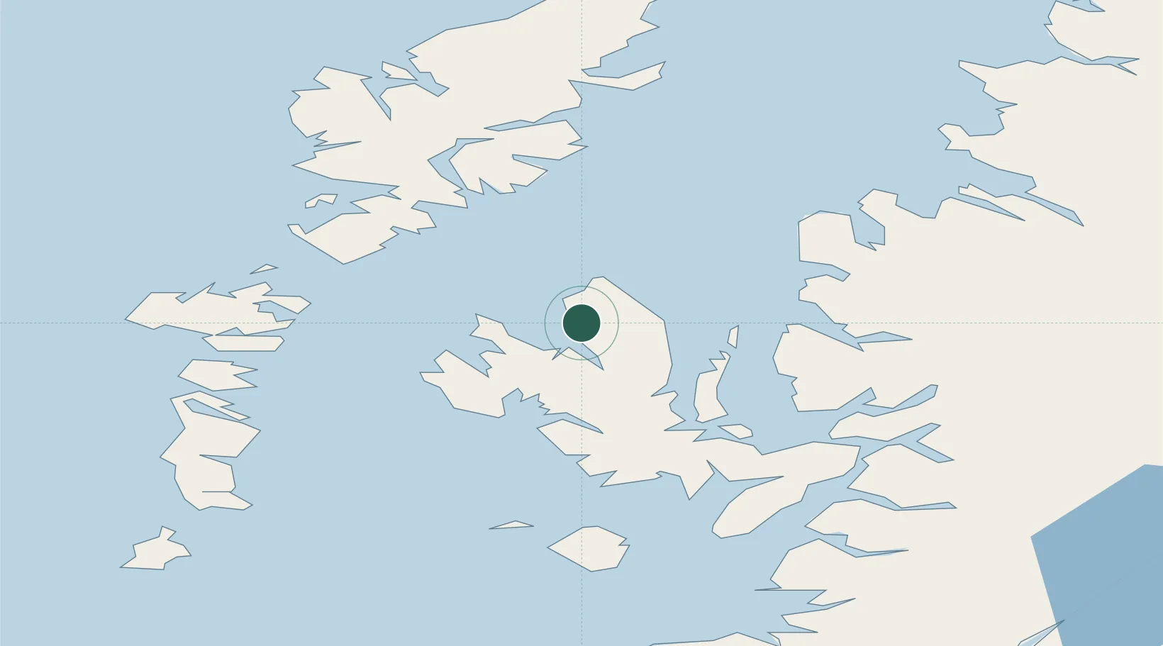
Location
Nearby Logistics Neighbours
Cities
- 1Snizort12 km
- 2Dunvegan21 km
- 3Palnackie22 km
- 4Portree22 km
- 5Dunstaffnage23 km
Ports
- 1Portree Harbor21 km
- 2Gairloch43 km
- 3Tarbert44 km
- 4Broadford Bay47 km
- 5Lochmaddy48 km
Airports
- 1Benbecula Airport61 km
- 2Stornoway Airport70 km
- 3Barra Airport90 km
- 4Coll Airport110 km
- 5Tiree Airport124 km
Trade Zones
DatabookThe Record of Consolidated Knowledge
United Kingdom beyond logistics?