UN/LOCODE hub · United Kingdom
GBNTL

North Lochs

58.1000°, -6.4833°
1
Transport functions

Transport Functions

Port
UN/LOCODE

Hub Profile

Region
ELS
GeoNames

Location

Location of GBNTL
Natural Earth 10m (public domain) · ELS · GBNTL · 58.10, -6.48GoogleOSMYandex

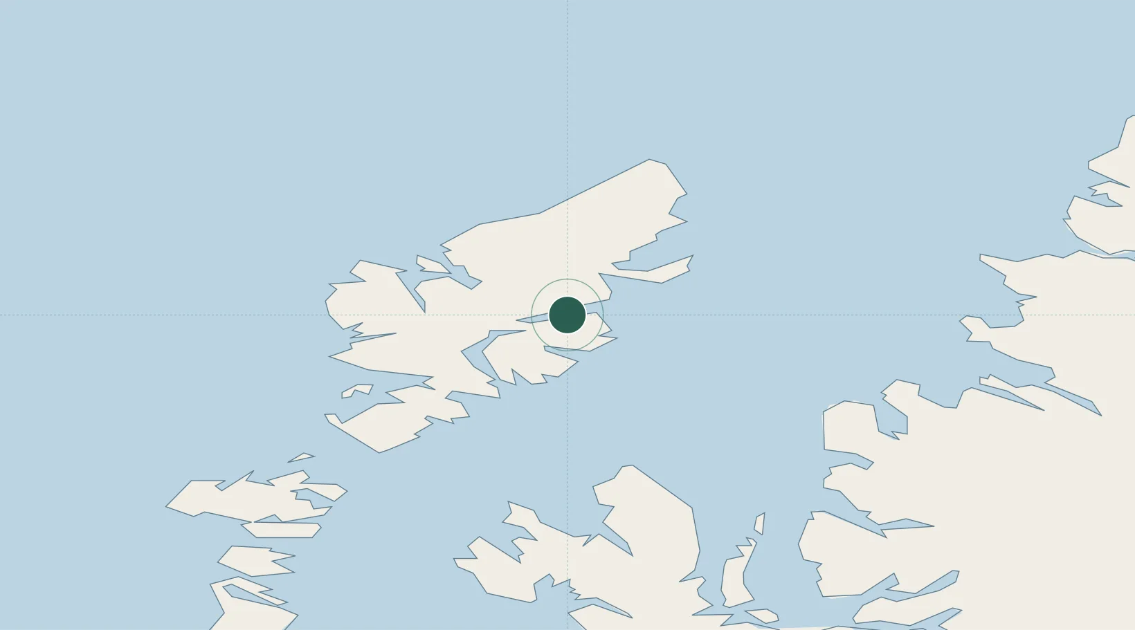
Nearby Logistics Neighbours

Cities
  1. 1Lochs0 km
  2. 2South Lochs0 km
  3. 3South Harris12 km
  4. 4Stornoway15 km
  5. 5Breasclete19 km
Nearest neighbours — logibook spatial index (haversine) over the source coordinates
Ports
  1. 1Stornoway Harbor12 km
  2. 2Tarbert30 km
  3. 3Uig58 km
  4. 4Aultbea61 km
  5. 5Gairloch64 km
Nearest neighbours — logibook spatial index (haversine) over the source coordinates
Airports
  1. 1Stornoway Airport16 km
  2. 2Benbecula Airport86 km
  3. 3Barra Airport133 km
  4. 4Inverness Airport157 km
  5. 5Coll Airport167 km
Nearest neighbours — logibook spatial index (haversine) over the source coordinates
Trade Zones
  1. 1Prestwick Airport Free Zone310 km
  2. 2Carlisle Kingmoor Park Enterprise Zone413 km
  3. 3North Eastern Enterprise Zone458 km
  4. 4Isle of Man Free Zone and Business Park460 km
  5. 5Tees Valley Enterprise Zone508 km
Nearest neighbours — logibook spatial index (haversine) over the source coordinates
DatabookThe Record of Consolidated Knowledge
United Kingdom beyond logistics?
Browse databook

All Sources

LocationsUN/LOCODE
UN/LOCODE — free
Portsthe NGA World Port Index
Public domain (US gov)
AirportsOurAirports
Public domain
Trade Zonesthe World Bank SEZ database
CC BY 4.0
Trade ZonesOpen Zone Map
CC BY
← United Kingdom locations