UN/LOCODE hub · United Kingdom
GBGAE

Graemsay

58.9167°, -3.2667°
1
Transport functions

Transport Functions

Port
UN/LOCODE

Hub Profile

Region
ORK
GeoNames

Location

Location of GBGAE
Natural Earth 10m (public domain) · ORK · GBGAE · 58.92, -3.27GoogleOSMYandex

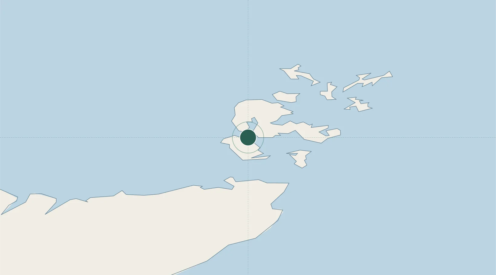
Nearby Logistics Neighbours

Cities
  1. 1Moaness, Hoy3 km
  2. 2Houton5 km
  3. 3Lyness10 km
  4. 4Flotta12 km
  5. 5Scapa Flow12 km
Nearest neighbours — logibook spatial index (haversine) over the source coordinates
Ports
  1. 1Stromness6 km
  2. 2Lyness10 km
  3. 3Scapa Bay17 km
  4. 4Kirkwall19 km
  5. 5St Margarets Hope20 km
Nearest neighbours — logibook spatial index (haversine) over the source coordinates
Airports
  1. 1Kirkwall Airport21 km
  2. 2Eday Airport42 km
  3. 3Stronsay Airport45 km
  4. 4Westray Airport52 km
  5. 5Wick John O'Groats Airport52 km
Nearest neighbours — logibook spatial index (haversine) over the source coordinates
Trade Zones
  1. 1Prestwick Airport Free Zone387 km
  2. 2Carlisle Kingmoor Park Enterprise Zone443 km
  3. 3North Eastern Enterprise Zone450 km
  4. 4Tees Valley Enterprise Zone496 km
  5. 5Isle of Man Free Zone and Business Park543 km
Nearest neighbours — logibook spatial index (haversine) over the source coordinates
DatabookThe Record of Consolidated Knowledge
United Kingdom beyond logistics?
Browse databook

All Sources

LocationsUN/LOCODE
UN/LOCODE — free
Portsthe NGA World Port Index
Public domain (US gov)
AirportsOurAirports
Public domain
Trade Zonesthe World Bank SEZ database
CC BY 4.0
Trade ZonesOpen Zone Map
CC BY
← United Kingdom locations