Transport Functions
Port
Road
Hub Profile
Place type
Populated place
Region
Scotland
Time zone
Europe/London
Elevation
18 m
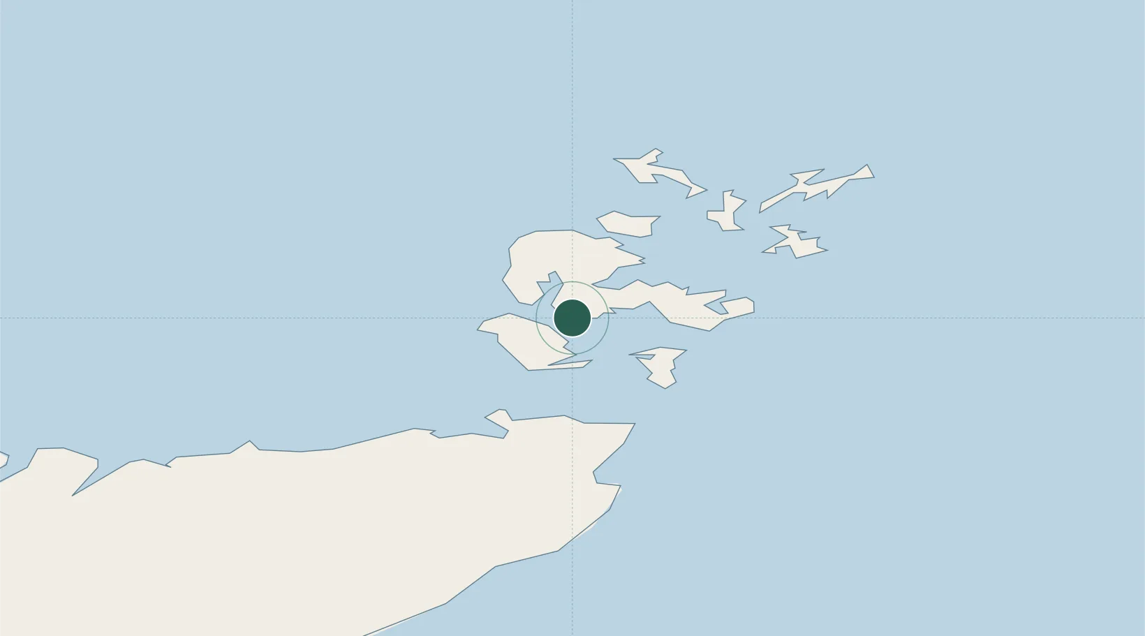
Location
Nearby Logistics Neighbours
Cities
- 1Graemsay5 km
- 2Moaness, Hoy8 km
- 3Scapa Flow8 km
- 4Lyness9 km
- 5Flotta10 km
Ports
- 1Stromness9 km
- 2Lyness9 km
- 3Scapa Bay12 km
- 4Kirkwall15 km
- 5St Margarets Hope16 km
Airports
- 1Kirkwall Airport17 km
- 2Eday Airport39 km
- 3Stronsay Airport41 km
- 4Westray Airport50 km
- 5Sanday Airport51 km
Trade Zones
DatabookThe Record of Consolidated Knowledge
United Kingdom beyond logistics?