UN/LOCODE hub · United Kingdom
GBLYS

Lyness

58.8333°, -3.2000°
1
Transport functions

Transport Functions

Port
Lyness is also a profiled seaport →
UN/LOCODE

Hub Profile

Place type
Populated place
GeoNames
Region
Scotland
GeoNames
Time zone
Europe/London
GeoNames
Elevation
11 m
GeoNames

Location

Location of GBLYS
Natural Earth 10m (public domain) · Scotland · GBLYS · 58.83, -3.20GoogleOSMYandex

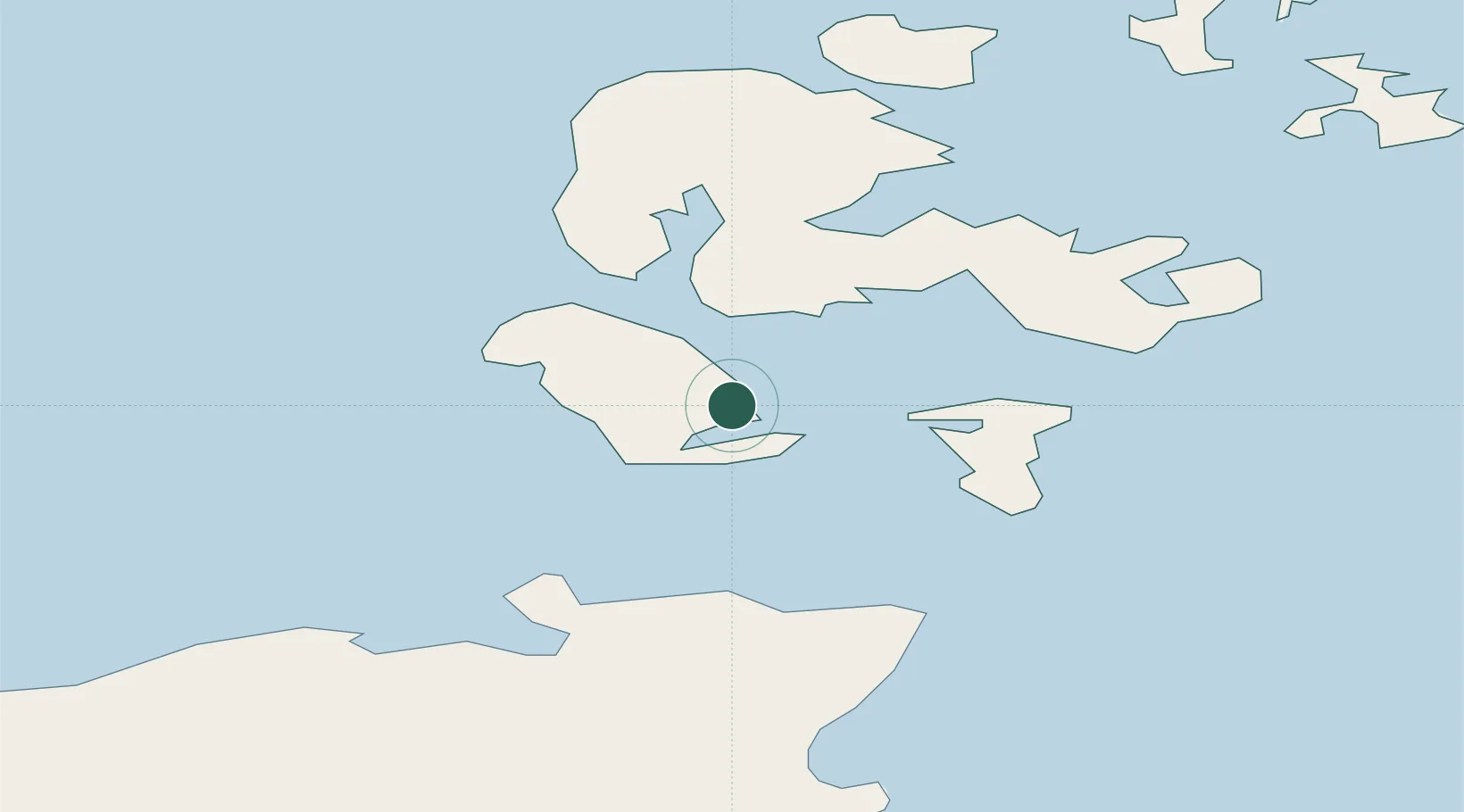
Nearby Logistics Neighbours

Cities
  1. 1Longhope, Hoy4 km
  2. 2Flotta4 km
  3. 3Houton9 km
  4. 4Scapa Flow10 km
  5. 5Graemsay10 km
Nearest neighbours — logibook spatial index (haversine) over the source coordinates
Ports
  1. 1St Margarets Hope14 km
  2. 2Stromness16 km
  3. 3Scapa Bay18 km
  4. 4Kirkwall21 km
  5. 5Scrabster Harbor31 km
Nearest neighbours — logibook spatial index (haversine) over the source coordinates
Airports
  1. 1Kirkwall Airport22 km
  2. 2Wick John O'Groats Airport42 km
  3. 3Eday Airport47 km
  4. 4Stronsay Airport48 km
  5. 5Sanday Airport59 km
Nearest neighbours — logibook spatial index (haversine) over the source coordinates
Trade Zones
  1. 1Prestwick Airport Free Zone379 km
  2. 2Carlisle Kingmoor Park Enterprise Zone434 km
  3. 3North Eastern Enterprise Zone441 km
  4. 4Tees Valley Enterprise Zone486 km
  5. 5Isle of Man Free Zone and Business Park534 km
Nearest neighbours — logibook spatial index (haversine) over the source coordinates
DatabookThe Record of Consolidated Knowledge
United Kingdom beyond logistics?
Browse databook

All Sources

LocationsUN/LOCODE
UN/LOCODE — free
Portsthe NGA World Port Index
Public domain (US gov)
AirportsOurAirports
Public domain
Trade Zonesthe World Bank SEZ database
CC BY 4.0
Trade ZonesOpen Zone Map
CC BY
← United Kingdom locations