Small airport · United Kingdom

Papa Westray AirportEGEP
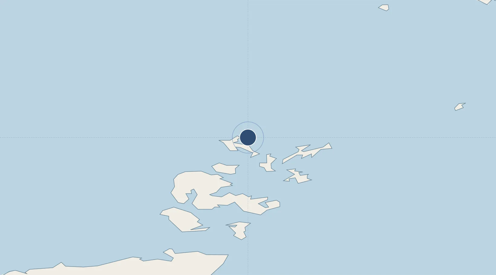
59.3510°, -2.9004°
1,729 ft
Longest runway
3
Runways
91 ft
Elevation

Runway & Layout

Papa Westray Airport runway & taxiway layout
Runway & taxiway layout — OpenStreetMap (ODbL) / OurAirports

Runways · 3

RunwayDimensions SurfaceTrue headingLit
04/22 1,729 × 59ft Graded Hardcore 032°
18/36 1,125 × 101ft Grass 176°
07/25 1,096 × 59ft Grass/Graded Hardcore 064°
OurAirports

Airport Specifications

IATA code
PPW
OurAirports
ICAO code
EGEP
OurAirports
Airport class
Small airport
OurAirports
Scheduled service
Yes
OurAirports
Runway surface
Graded Hardcore
OurAirports
Served city
Papa Westray, Orkney Islands
OurAirports

Location

Location of EGEP
Natural Earth 10m (public domain) · Orkney · EGEP · 59.35, -2.90GoogleOSMYandex

Nearby Logistics Neighbours

Airports
  1. 1Westray Airport3 km
  2. 2Eday Airport19 km
  3. 3Sanday Airport22 km
  4. 4Stronsay Airport26 km
  5. 5North Ronaldsay Airport27 km
Nearest neighbours — logibook spatial index (haversine) over the source coordinates
Cities
  1. 1Papa Westray2 km
  2. 2Pierowall, Westray7 km
  3. 3Rapness, Westray10 km
  4. 4Loth, Sanday20 km
  5. 5Kettletoft, Sanday22 km
Nearest neighbours — logibook spatial index (haversine) over the source coordinates
Ports
  1. 1Pierowall6 km
  2. 2Kettletoft22 km
  3. 3Whitehall30 km
  4. 4Kirkwall41 km
  5. 5Scapa Bay45 km
Nearest neighbours — logibook spatial index (haversine) over the source coordinates
Trade Zones
  1. 1Prestwick Airport Free Zone439 km
  2. 2Carlisle Kingmoor Park Enterprise Zone491 km
  3. 3North Eastern Enterprise Zone494 km
  4. 4Tees Valley Enterprise Zone538 km
  5. 5Isle of Man Free Zone and Business Park594 km
Nearest neighbours — logibook spatial index (haversine) over the source coordinates
DatabookThe Record of Consolidated Knowledge
United Kingdom beyond logistics?
Browse databook

All Sources

AirportsOurAirports
Public domain
Portsthe NGA World Port Index
Public domain (US gov)
LocationsUN/LOCODE
UN/LOCODE — free
Trade Zonesthe World Bank SEZ database
CC BY 4.0
Trade ZonesOpen Zone Map
CC BY
InfrastructureOpenStreetMap
ODbL 1.0
← United Kingdom airports