Transport Functions
Port
Road
Hub Profile
Region
HLD
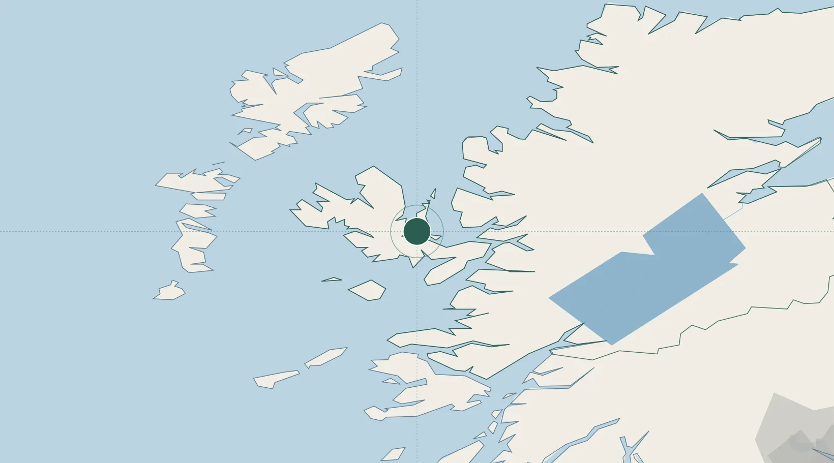
Location
Nearby Logistics Neighbours
Cities
- 1Sconser, Isle of Skye5 km
- 2Palnackie12 km
- 3Portree12 km
- 4Broadford, Isle of Skye15 km
- 5Applecross17 km
Ports
- 1Portree Harbor12 km
- 2Broadford Bay14 km
- 3Kyleakin21 km
- 4Kyle Of Lochalsh22 km
- 5Plockton25 km
Airports
- 1Benbecula Airport79 km
- 2Coll Airport88 km
- 3Barra Airport90 km
- 4Stornoway Airport99 km
- 5Tiree Airport105 km
Trade Zones
DatabookThe Record of Consolidated Knowledge
United Kingdom beyond logistics?