Channel & Berth Profile
Pilotage, Tugs & Services
Pilotage availableYES
Tug assistanceYES
Shore powerYES
Potable waterYES
Diesel bunkersYES
MedicalYES
Garbage disposalYES
Facilities & Capabilities
Container—
Ro-Ro—
Liquid bulk—
Dry bulk—
Oil terminal—
Break bulk—
Dry dock—
RepairsNO
Bunkering—
Rail linkYES
Dangerous cargo—
ISPS security—
Harbour Specifications
Harbour size
Very Small
Harbour type
Open Roadstead
Shelter
Fair
Water body
North Atlantic Ocean
Tidal range
5 m
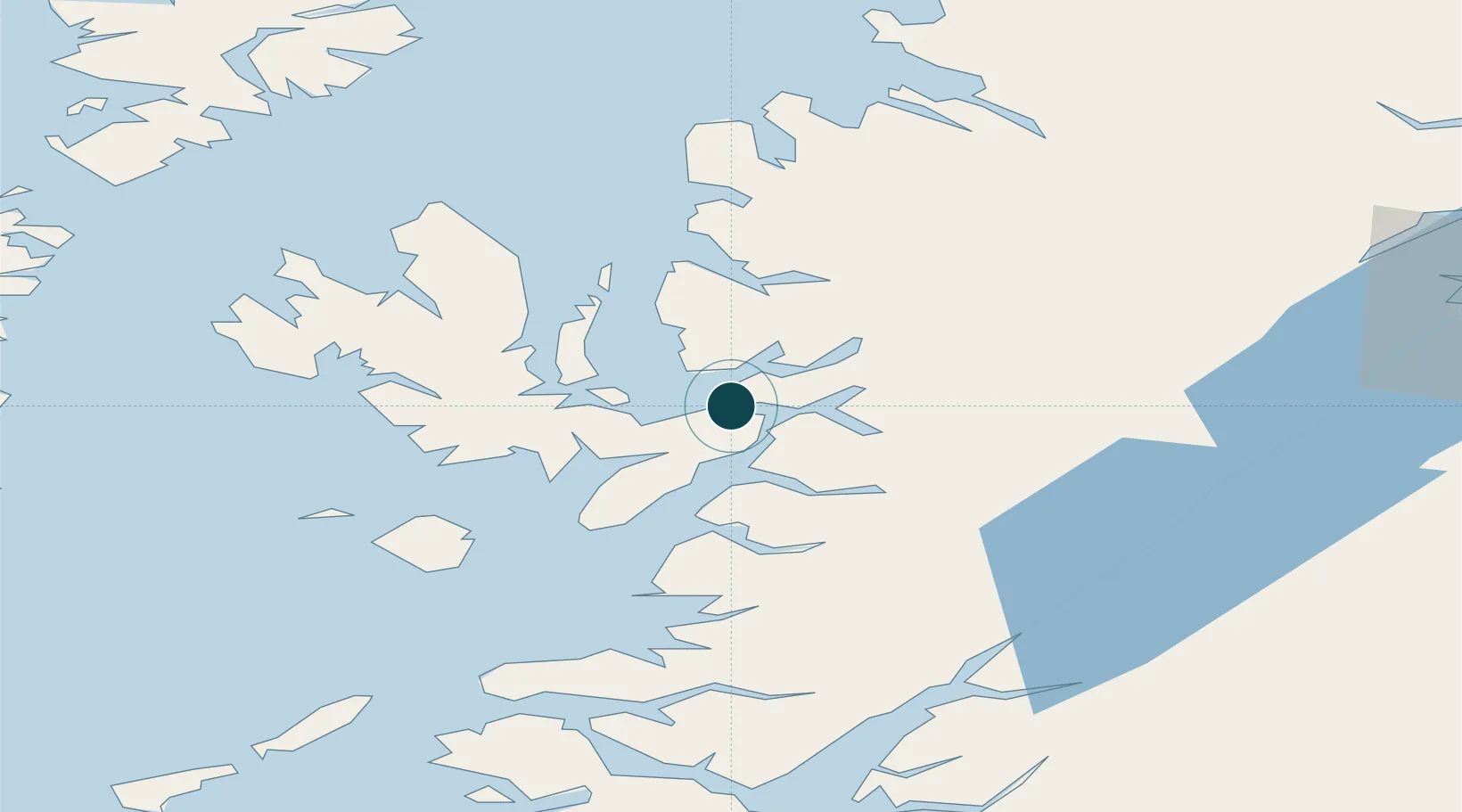
Location
Nearby Logistics Neighbours
Ports
- 1Kyleakin2 km
- 2Plockton7 km
- 3Broadford Bay11 km
- 4Mallaig32 km
- 5Portree Harbor33 km
Cities
- 1Kyleakin2 km
- 2Balmacara6 km
- 3Plockton7 km
- 4Glenelg9 km
- 5Applecross12 km
Airports
- 1Oban Airport93 km
- 2Coll Airport93 km
- 3Benbecula Airport101 km
- 4Inverness Airport104 km
- 5Barra Airport108 km
Trade Zones
DatabookThe Record of Consolidated Knowledge
United Kingdom beyond logistics?