UN/LOCODE hub · United Kingdom
GBRCD

Bracadale

57.3500°, -6.4000°
1
Transport functions

Transport Functions

Port
UN/LOCODE

Hub Profile

Place type
Populated place
GeoNames
Region
Scotland
GeoNames
Time zone
Europe/London
GeoNames
Elevation
15 m
GeoNames

Location

Location of GBRCD
Natural Earth 10m (public domain) · Scotland · GBRCD · 57.35, -6.40GoogleOSMYandex

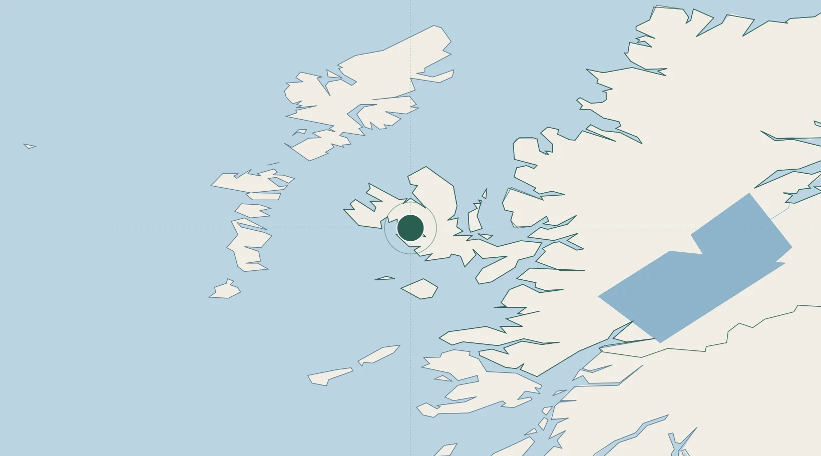
Nearby Logistics Neighbours

Cities
  1. 1Dunvegan14 km
  2. 2Palnackie15 km
  3. 3Portree15 km
  4. 4Snizort16 km
  5. 5Sconser, Isle of Skye18 km
Nearest neighbours — logibook spatial index (haversine) over the source coordinates
Ports
  1. 1Portree Harbor14 km
  2. 2Uig26 km
  3. 3Broadford Bay33 km
  4. 4Kyleakin41 km
  5. 5Kyle Of Lochalsh42 km
Nearest neighbours — logibook spatial index (haversine) over the source coordinates
Airports
  1. 1Benbecula Airport60 km
  2. 2Barra Airport73 km
  3. 3Coll Airport84 km
  4. 4Stornoway Airport96 km
  5. 5Tiree Airport99 km
Nearest neighbours — logibook spatial index (haversine) over the source coordinates
Trade Zones
  1. 1Prestwick Airport Free Zone232 km
  2. 2Carlisle Kingmoor Park Enterprise Zone343 km
  3. 3Isle of Man Free Zone and Business Park379 km
  4. 4Dublin International Financial Services Centre445 km
  5. 5Blackpool Enterprise Zone451 km
Nearest neighbours — logibook spatial index (haversine) over the source coordinates
DatabookThe Record of Consolidated Knowledge
United Kingdom beyond logistics?
Browse databook

All Sources

LocationsUN/LOCODE
UN/LOCODE — free
Portsthe NGA World Port Index
Public domain (US gov)
AirportsOurAirports
Public domain
Trade Zonesthe World Bank SEZ database
CC BY 4.0
Trade ZonesOpen Zone Map
CC BY
← United Kingdom locations