UN/LOCODE hub · United Kingdom
GBSCO

Sconser, Isle of Skye

57.3000°, -6.1167°
2
Transport functions

Transport Functions

Port
Road
UN/LOCODE

Hub Profile

Region
HLD
GeoNames

Location

Location of GBSCO
Natural Earth 10m (public domain) · HLD · GBSCO · 57.30, -6.12GoogleOSMYandex

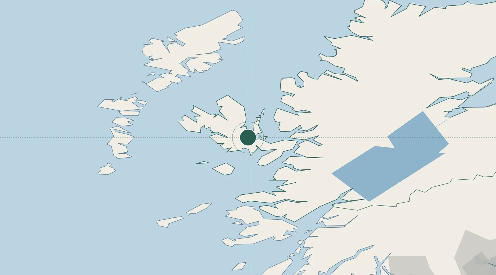
Nearby Logistics Neighbours

Cities
  1. 1Clachan, Raasay5 km
  2. 2Palnackie14 km
  3. 3Portree14 km
  4. 4Portnalong14 km
  5. 5Carbost14 km
Nearest neighbours — logibook spatial index (haversine) over the source coordinates
Ports
  1. 1Portree Harbor14 km
  2. 2Broadford Bay15 km
  3. 3Kyleakin23 km
  4. 4Kyle Of Lochalsh24 km
  5. 5Plockton28 km
Nearest neighbours — logibook spatial index (haversine) over the source coordinates
Airports
  1. 1Benbecula Airport77 km
  2. 2Coll Airport83 km
  3. 3Barra Airport86 km
  4. 4Tiree Airport100 km
  5. 5Stornoway Airport103 km
Nearest neighbours — logibook spatial index (haversine) over the source coordinates
Trade Zones
  1. 1Prestwick Airport Free Zone220 km
  2. 2Carlisle Kingmoor Park Enterprise Zone328 km
  3. 3Isle of Man Free Zone and Business Park369 km
  4. 4Blackpool Enterprise Zone438 km
  5. 5Hillhouse Enterprise Zone439 km
Nearest neighbours — logibook spatial index (haversine) over the source coordinates
DatabookThe Record of Consolidated Knowledge
United Kingdom beyond logistics?
Browse databook

All Sources

LocationsUN/LOCODE
UN/LOCODE — free
Portsthe NGA World Port Index
Public domain (US gov)
AirportsOurAirports
Public domain
Trade Zonesthe World Bank SEZ database
CC BY 4.0
Trade ZonesOpen Zone Map
CC BY
← United Kingdom locations