Channel & Berth Profile
Pilotage, Tugs & Services
Pilotage compulsoryNO
Pilotage availableNO
MedicalYES
Facilities & Capabilities
Container—
Ro-Ro—
Liquid bulk—
Dry bulk—
Oil terminal—
Break bulk—
Dry dock—
RepairsNO
Bunkering—
Rail link—
Dangerous cargo—
ISPS security—
Harbour Specifications
Harbour size
Very Small
Harbour type
Open Roadstead
Shelter
Fair
Water body
North Atlantic Ocean
Tidal range
8 m
Pilotage
No
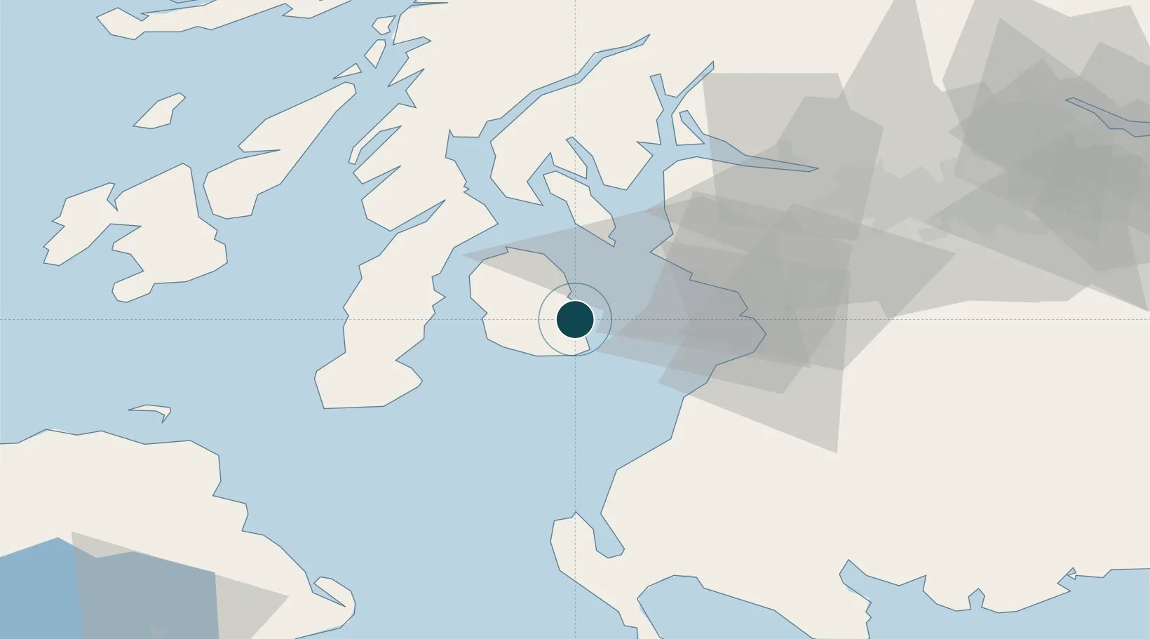
Location
Nearby Logistics Neighbours
Ports
- 1Ardrossan23 km
- 2Millport27 km
- 3Troon27 km
- 4Hunterston28 km
- 5Ayr31 km
Cities
- 1Brodick, Isle of Arran6 km
- 2Shiskine12 km
- 3Ardrossan21 km
- 4Lochranza, Isle of Arran22 km
- 5Saltcoats22 km
Airports
- 1Glasgow Prestwick Airport34 km
- 2Campbeltown Airport38 km
- 3Glasgow Airport57 km
- 4Islay Airport74 km
- 5Colonsay Airstrip91 km
Trade Zones
DatabookThe Record of Consolidated Knowledge
United Kingdom beyond logistics?