Transport Functions
Port
Hub Profile
Place type
Populated place
Region
Scotland
Population
1,290
Time zone
Europe/London
Elevation
23 m
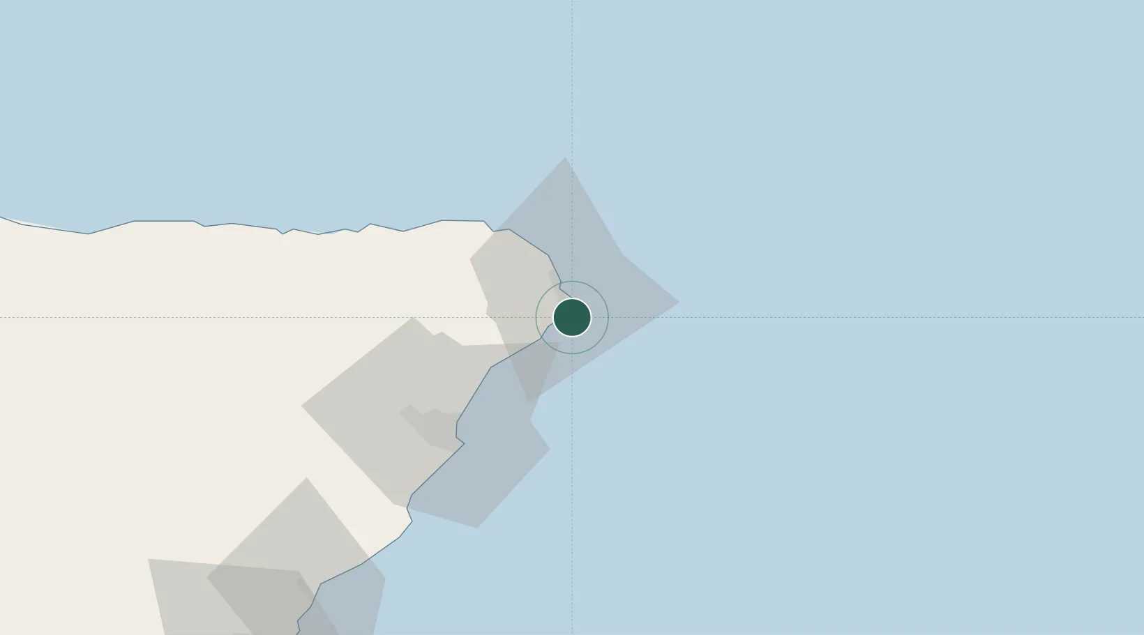
Location
Nearby Logistics Neighbours
Cities
- 1Peterhead6 km
- 2Port Erroll7 km
- 3Whinnyfold10 km
- 4Collieston14 km
- 5Stuartfield18 km
Ports
- 1Peterhead6 km
- 2Fraserburgh Harbor29 km
- 3Aberdeen38 km
- 4Macduff50 km
- 5Buckie Harbor76 km
Airports
- 1Aberdeen International Airport38 km
- 2RAF Lossiemouth98 km
- 3Dundee Airport135 km
- 4Wick John O'Groats Airport137 km
- 5Leuchars Station Airfield137 km
Trade Zones
DatabookThe Record of Consolidated Knowledge
United Kingdom beyond logistics?