UN/LOCODE hub · United Kingdom
GBSFU
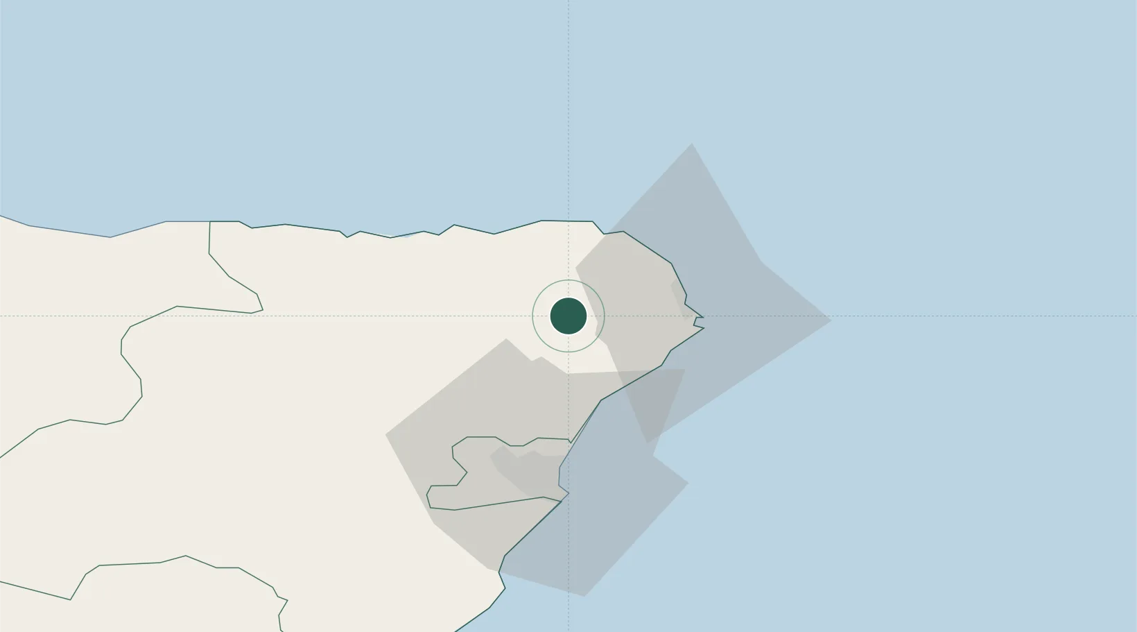
Stuartfield
57.5000°, -2.0500°
700
Population
2
Transport functions
Transport Functions
Port
Road
Hub Profile
Place type
Populated place
Region
Scotland
Population
700
Time zone
Europe/London
Elevation
52 m
Location
Nearby Logistics Neighbours
Cities
- 1Peterhead16 km
- 2Whinnyfold17 km
- 3Port Erroll17 km
- 4Boddam18 km
- 5Collieston19 km
Ports
- 1Peterhead16 km
- 2Fraserburgh Harbor21 km
- 3Macduff33 km
- 4Aberdeen39 km
- 5Buckie Harbor58 km
Airports
- 1Aberdeen International Airport34 km
- 2RAF Lossiemouth80 km
- 3Inverness Airport119 km
- 4Wick John O'Groats Airport123 km
- 5Dundee Airport131 km
Trade Zones
DatabookThe Record of Consolidated Knowledge
United Kingdom beyond logistics?