UN/LOCODE hub · United Kingdom
GBPHD
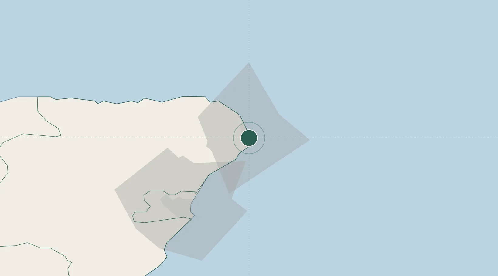
Peterhead
57.5000°, -1.7833°
18,450
Population
1
Transport functions
Transport Functions
Port
Hub Profile
Place type
Populated place
Region
Scotland
Population
18,450
Time zone
Europe/London
Elevation
11 m
Location
Nearby Logistics Neighbours
Cities
- 1Boddam6 km
- 2Port Erroll12 km
- 3Whinnyfold14 km
- 4Stuartfield16 km
- 5Collieston19 km
Ports
- 1Fraserburgh Harbor24 km
- 2Aberdeen43 km
- 3Macduff47 km
- 4Buckie Harbor73 km
- 5Lossiemouth93 km
Airports
- 1Aberdeen International Airport41 km
- 2RAF Lossiemouth96 km
- 3Wick John O'Groats Airport132 km
- 4Dundee Airport139 km
- 5Leuchars Station Airfield142 km
Trade Zones
DatabookThe Record of Consolidated Knowledge
United Kingdom beyond logistics?