Transport Functions
Port
Hub Profile
Place type
Populated place
Region
Scotland
Time zone
Europe/London
Elevation
53 m
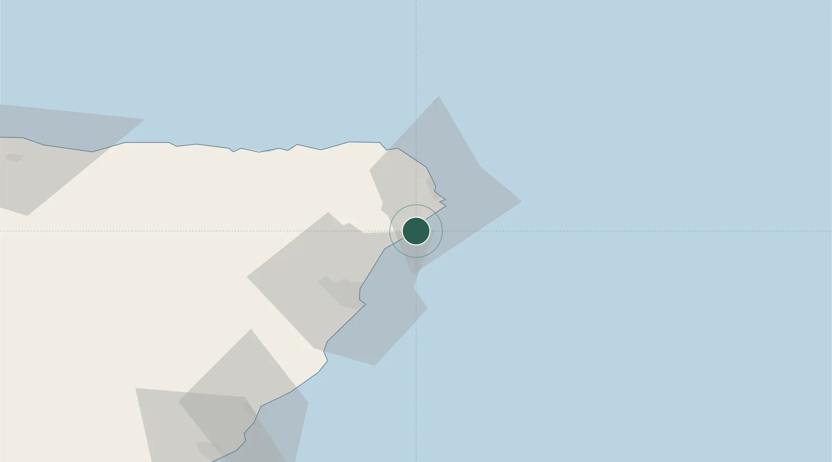
Location
Nearby Logistics Neighbours
Cities
- 1Port Erroll3 km
- 2Collieston5 km
- 3Boddam10 km
- 4Peterhead14 km
- 5Stuartfield17 km
Ports
- 1Peterhead14 km
- 2Aberdeen29 km
- 3Fraserburgh Harbor34 km
- 4Macduff49 km
- 5Buckie Harbor74 km
Airports
- 1Aberdeen International Airport28 km
- 2RAF Lossiemouth95 km
- 3Dundee Airport125 km
- 4Leuchars Station Airfield128 km
- 5Wick John O'Groats Airport140 km
Trade Zones
DatabookThe Record of Consolidated Knowledge
United Kingdom beyond logistics?