Channel & Berth Profile
Pilotage, Tugs & Services
Pilotage compulsoryYES
Pilotage availableYES
Pilotage advisableYES
Local assistanceYES
Tug assistanceNO
Salvage tugsNO
Potable waterYES
Diesel bunkersYES
MedicalYES
Garbage disposalYES
Facilities & Capabilities
Container—
Ro-Ro—
Liquid bulk—
Dry bulk—
Oil terminal—
Break bulk—
Dry dock—
RepairsNO
BunkeringYES
Rail linkYES
Dangerous cargo—
ISPS security—
Harbour Specifications
Harbour size
Very Small
Harbour type
River (Natural)
Shelter
Excellent
Water body
Celtic Sea; North Atlantic Ocean
Tidal range
6 m
Pilotage
Yes
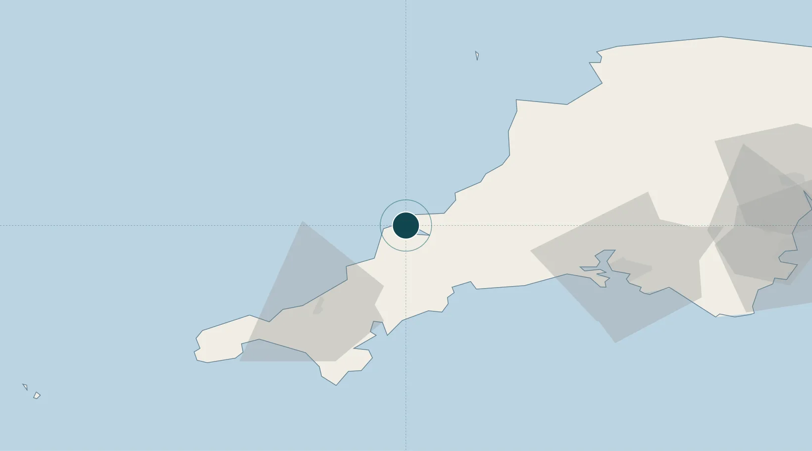
Location
Nearby Logistics Neighbours
Ports
- 1Charlestown27 km
- 2Par28 km
- 3Fowey Harbour32 km
- 4Mevagissey33 km
- 5Falmouth Harbour46 km
Cities
- 1Rock3 km
- 2Saint Minver5 km
- 3Wadebridge8 km
- 4Port Isaac9 km
- 5Port Gaverne10 km
Airports
- 1Cornwall Airport Newquay13 km
- 2RNAS Culdrose56 km
- 3Hartland Point Heliport60 km
- 4Penzance Heliport62 km
- 5Lundy Island Helipad71 km
Trade Zones
DatabookThe Record of Consolidated Knowledge
United Kingdom beyond logistics?