Small airport · United Kingdom
Land's End AirportEGHC
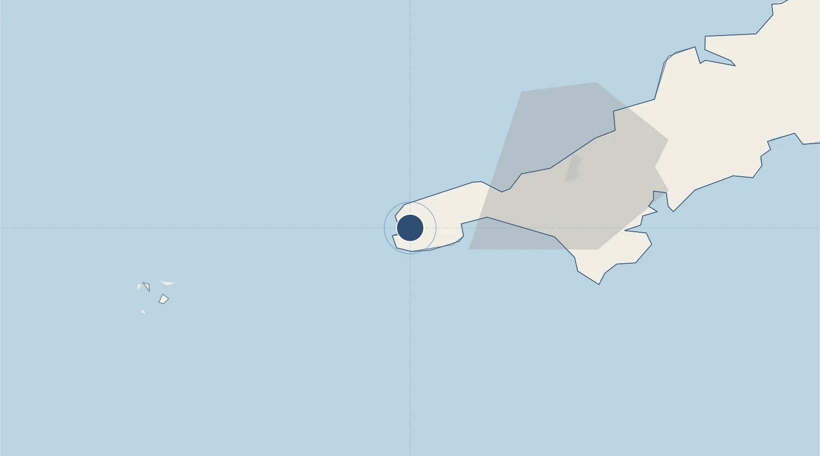
50.1028°, -5.6706°
2,572 ft
Longest runway
4
Runways
398 ft
Elevation
Runway & Layout

Radio Frequencies
TWR
130.7 MHz
Lands End St.Just TWR
A/G
130.7 MHz
Lands End St.Just A/G
RAD/APP
130.7 MHz
Lands End St.Just RAD/APP
Runways · 4
| Runway | Dimensions | Surface | True heading | Lit |
|---|---|---|---|---|
| 16/34 | 2,572 × 59ft | ASPH | 162° | — |
| 07/25 | 2,274 × 59ft | ASPH | 068° | — |
| 02/20 | 1,585 × 62ft | Grass | 023° | — |
| 12/30 | 1,571 × 59ft | Grass | 116° | — |
Airport Specifications
IATA code
LEQ
ICAO code
EGHC
Airport class
Small airport
Scheduled service
Yes
Runway surface
ASPH
Served city
Land's End, Cornwall
Location
Nearby Logistics Neighbours
Airports
- 1Penzance Heliport12 km
- 2RNAS Culdrose30 km
- 3St. Mary's Airport49 km
- 4Tresco Heliport50 km
- 5Cornwall Airport Newquay61 km
Cities
- 1Saint Just1 km
- 2Cape Cornwall3 km
- 3Sennen Cove5 km
- 4Land's End5 km
- 5Pendeen7 km
Ports
- 1Newlyn9 km
- 2Penzance10 km
- 3Hayle20 km
- 4Falmouth Harbour43 km
- 5St. Mary's (Scilly Isl.)51 km
Trade Zones
DatabookThe Record of Consolidated Knowledge
United Kingdom beyond logistics?