Runway & Layout

Airport Specifications
IATA code
PZE
ICAO code
EGHK
Airport class
Heliport
Scheduled service
Yes
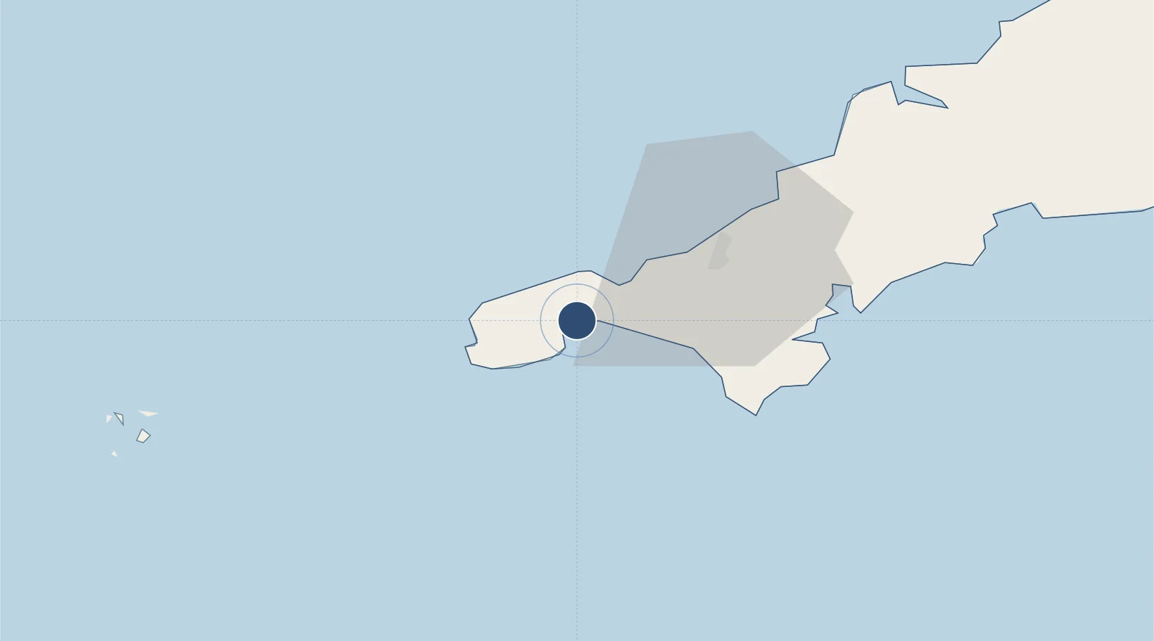
Served city
Penzance, Cornwall
Location
Nearby Logistics Neighbours
Airports
- 1Land's End Airport12 km
- 2RNAS Culdrose19 km
- 3Cornwall Airport Newquay51 km
- 4St. Mary's Airport61 km
- 5Tresco Heliport62 km
Cities
- 1Gulval0 km
- 2Saint Michael's Mount4 km
- 3Mousehole6 km
- 4Penberth11 km
- 5Pendeen12 km
Ports
- 1Penzance2 km
- 2Newlyn4 km
- 3Hayle9 km
- 4Falmouth Harbour32 km
- 5Mevagissey54 km
Trade Zones
DatabookThe Record of Consolidated Knowledge
United Kingdom beyond logistics?