UN/LOCODE hub · United Kingdom
GBMVG
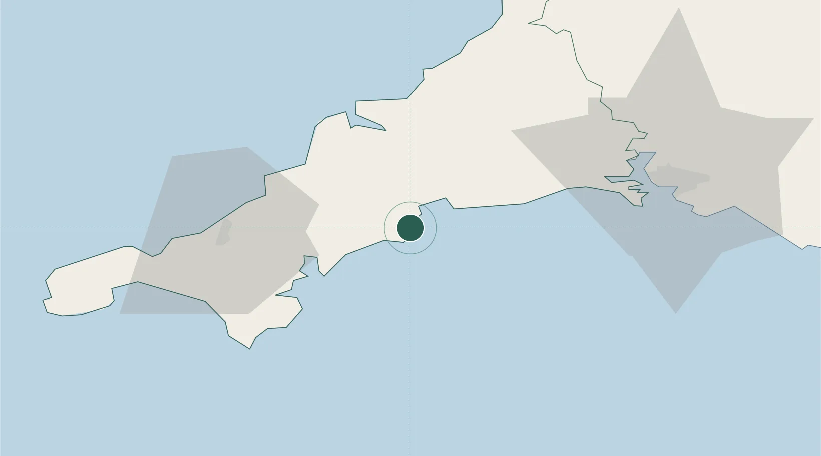
Mevagissey
50.2667°, -4.7833°
2,117
Population
2
Transport functions
Transport Functions
Port
Road
Hub Profile
Place type
Populated place
Region
England
Population
2,117
Time zone
Europe/London
Elevation
10 m
Location
Nearby Logistics Neighbours
Cities
- 1Gorran Haven4 km
- 2Portloe10 km
- 3Par10 km
- 4Bugle13 km
- 5Polruan13 km
Ports
- 1Charlestown8 km
- 2Par11 km
- 3Fowey Harbour13 km
- 4Falmouth Harbour24 km
- 5Padstow33 km
Airports
- 1Cornwall Airport Newquay25 km
- 2RNAS Culdrose39 km
- 3Penzance Heliport54 km
- 4Land's End Airport66 km
- 5Hartland Point Heliport86 km
Trade Zones
DatabookThe Record of Consolidated Knowledge
United Kingdom beyond logistics?