UN/LOCODE hub · United Kingdom
GBPAR

Par

50.3500°, -4.7167°
9,462
Population
1
Transport functions

Transport Functions

Port
Par is also a profiled seaport →
UN/LOCODE

Hub Profile

Place type
Populated place
GeoNames
Region
England
GeoNames
Population
9,462
GeoNames
Time zone
Europe/London
GeoNames
Elevation
3 m
GeoNames

Location

Location of GBPAR
Natural Earth 10m (public domain) · England · GBPAR · 50.35, -4.72GoogleOSMYandex

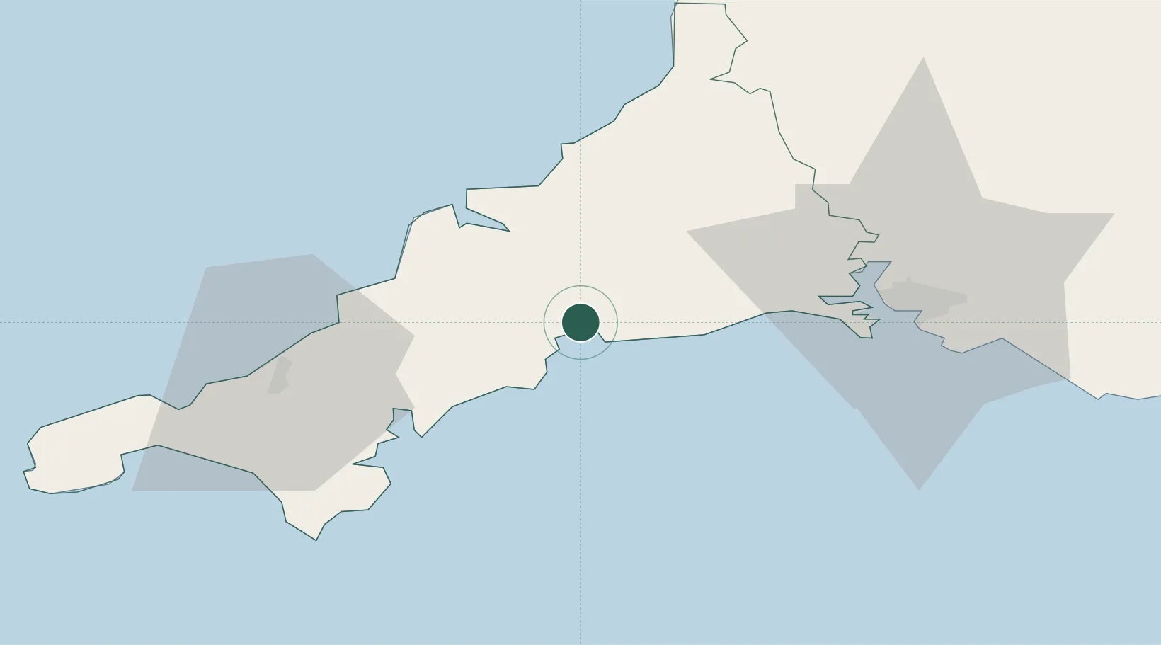
Nearby Logistics Neighbours

Cities
  1. 1Luxulyan4 km
  2. 2Saint Sampson (Golant)5 km
  3. 3Bugle7 km
  4. 4Polruan8 km
  5. 5Mevagissey10 km
Nearest neighbours — logibook spatial index (haversine) over the source coordinates
Ports
  1. 1Charlestown3 km
  2. 2Fowey Harbour6 km
  3. 3Mevagissey10 km
  4. 4Padstow27 km
  5. 5Falmouth Harbour33 km
Nearest neighbours — logibook spatial index (haversine) over the source coordinates
Airports
  1. 1Cornwall Airport Newquay22 km
  2. 2RNAS Culdrose48 km
  3. 3Penzance Heliport62 km
  4. 4Land's End Airport73 km
  5. 5Hartland Point Heliport76 km
Nearest neighbours — logibook spatial index (haversine) over the source coordinates
Trade Zones
  1. 1Cornwall Newquay Aerohub Enterprise Zone22 km
  2. 2Oceansgate Plymouth38 km
  3. 3Heart of the South West Enterprise Zone44 km
  4. 4Exeter & East Devon Enterprise Zone99 km
  5. 5Dorset Innovation Park178 km
Nearest neighbours — logibook spatial index (haversine) over the source coordinates
DatabookThe Record of Consolidated Knowledge
United Kingdom beyond logistics?
Browse databook

All Sources

LocationsUN/LOCODE
UN/LOCODE — free
LocationsGeoNames
CC BY 4.0
Portsthe NGA World Port Index
Public domain (US gov)
AirportsOurAirports
Public domain
Trade Zonesthe World Bank SEZ database
CC BY 4.0
Trade ZonesOpen Zone Map
CC BY
← United Kingdom locations