UN/LOCODE hub · United Kingdom
GBZAI

Bugle

50.3833°, -4.8000°
2,873
Population
1
Transport functions

Transport Functions

Multimodal
UN/LOCODE

Hub Profile

Place type
Populated place
GeoNames
Region
England
GeoNames
Population
2,873
GeoNames
Time zone
Europe/London
GeoNames
Elevation
148 m
GeoNames

Location

Location of GBZAI
Natural Earth 10m (public domain) · England · GBZAI · 50.38, -4.80GoogleOSMYandex

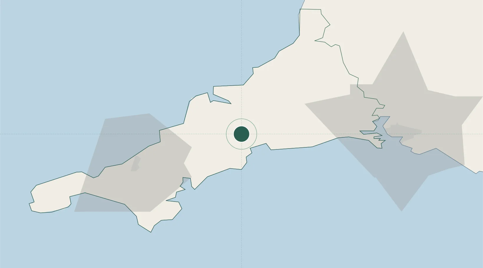
Nearby Logistics Neighbours

Cities
  1. 1Luxulyan4 km
  2. 2Par7 km
  3. 3Saint Columb Major10 km
  4. 4Saint Sampson (Golant)11 km
  5. 5Summercourt12 km
Nearest neighbours — logibook spatial index (haversine) over the source coordinates
Ports
  1. 1Charlestown7 km
  2. 2Par8 km
  3. 3Mevagissey13 km
  4. 4Fowey Harbour13 km
  5. 5Padstow21 km
Nearest neighbours — logibook spatial index (haversine) over the source coordinates
Airports
  1. 1Cornwall Airport Newquay15 km
  2. 2RNAS Culdrose46 km
  3. 3Penzance Heliport58 km
  4. 4Land's End Airport69 km
  5. 5Hartland Point Heliport73 km
Nearest neighbours — logibook spatial index (haversine) over the source coordinates
Trade Zones
  1. 1Cornwall Newquay Aerohub Enterprise Zone15 km
  2. 2Oceansgate Plymouth44 km
  3. 3Heart of the South West Enterprise Zone50 km
  4. 4Exeter & East Devon Enterprise Zone103 km
  5. 5Dorset Innovation Park183 km
Nearest neighbours — logibook spatial index (haversine) over the source coordinates
DatabookThe Record of Consolidated Knowledge
United Kingdom beyond logistics?
Browse databook

All Sources

LocationsUN/LOCODE
UN/LOCODE — free
LocationsGeoNames
CC BY 4.0
Portsthe NGA World Port Index
Public domain (US gov)
AirportsOurAirports
Public domain
Trade Zonesthe World Bank SEZ database
CC BY 4.0
Trade ZonesOpen Zone Map
CC BY
← United Kingdom locations