Channel & Berth Profile
Pilotage, Tugs & Services
Pilotage compulsoryYES
Pilotage availableYES
Pilotage advisableYES
Local assistanceYES
Tug assistanceYES
Shore powerYES
Potable waterYES
Diesel bunkersYES
MedicalYES
Garbage disposalYES
Facilities & Capabilities
Container—
Ro-Ro—
Liquid bulk—
Dry bulk—
Oil terminal—
Break bulk—
Dry dockNO
RepairsNO
BunkeringYES
Rail linkYES
Dangerous cargo—
ISPS security—
Harbour Specifications
Harbour size
Medium
Harbour type
Coastal (Natural)
Shelter
Good
Water body
English Channel; North Atlantic Ocean
Tidal range
5 m
Pilotage
Yes
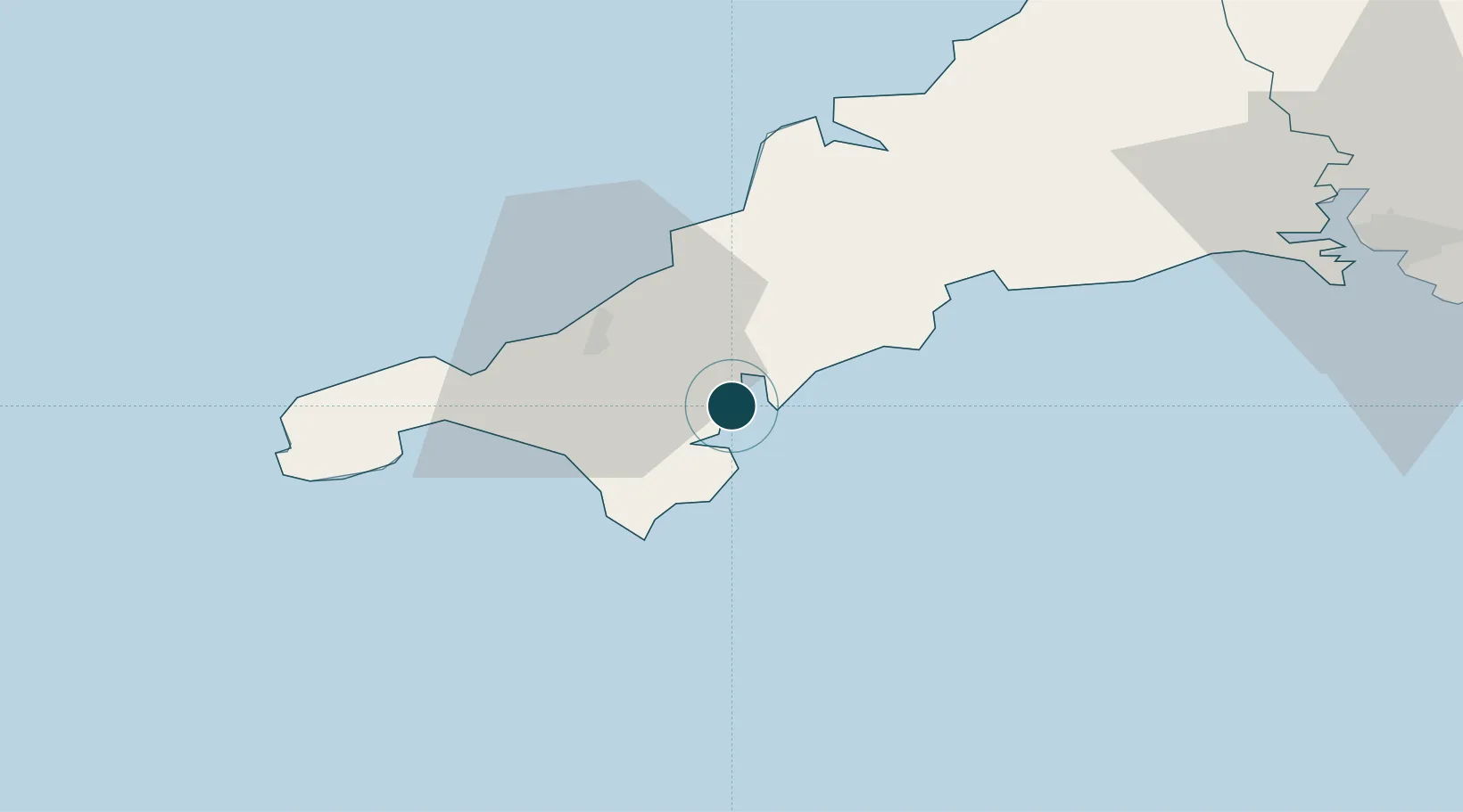
Location
Nearby Logistics Neighbours
Ports
- 1Mevagissey24 km
- 2Hayle25 km
- 3Charlestown30 km
- 4Penzance34 km
- 5Par34 km
Cities
- 1Flushing0 km
- 2Mylor2 km
- 3Budock Water4 km
- 4Saint Mawes4 km
- 5Portscatho7 km
Airports
- 1RNAS Culdrose15 km
- 2Penzance Heliport32 km
- 3Cornwall Airport Newquay33 km
- 4Land's End Airport43 km
- 5St. Mary's Airport91 km
Trade Zones
DatabookThe Record of Consolidated Knowledge
United Kingdom beyond logistics?