UN/LOCODE hub · United Kingdom
GBGOR
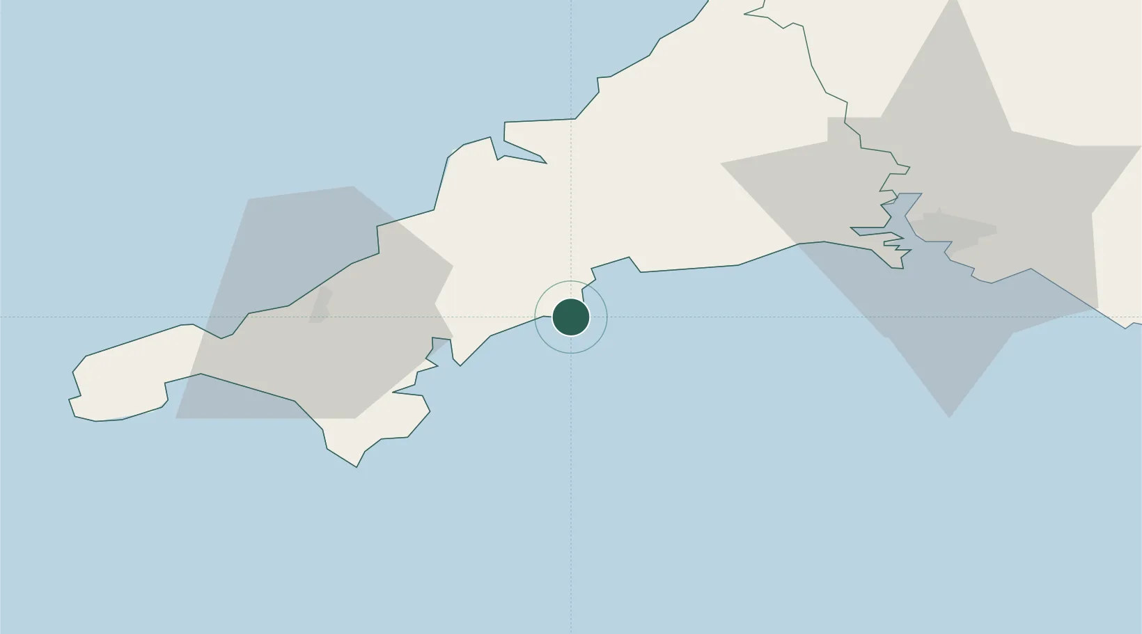
Gorran Haven
50.2333°, -4.8000°
893
Population
2
Transport functions
Transport Functions
Port
Road
Hub Profile
Place type
Populated place
Region
England
Population
893
Time zone
Europe/London
Elevation
30 m
Location
Nearby Logistics Neighbours
Cities
- 1Mevagissey4 km
- 2Portloe7 km
- 3Irby14 km
- 4Ladock14 km
- 5Portscatho14 km
Ports
- 1Mevagissey4 km
- 2Charlestown12 km
- 3Par15 km
- 4Fowey Harbour16 km
- 5Falmouth Harbour21 km
Airports
- 1Cornwall Airport Newquay27 km
- 2RNAS Culdrose36 km
- 3Penzance Heliport52 km
- 4Land's End Airport64 km
- 5Hartland Point Heliport90 km
Trade Zones
DatabookThe Record of Consolidated Knowledge
United Kingdom beyond logistics?