Transport Functions
Port
Hub Profile
Place type
Provincial seat
Region
Northern Ireland
Population
27,757
Time zone
Europe/London
Elevation
6 m
Logistics facilities
1
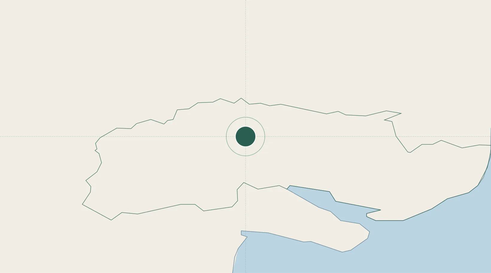
Location
Nearby Logistics Neighbours
Cities
- 1Rostrevor15 km
- 2Bessbrook23 km
- 3Greencastle25 km
- 4Dromore27 km
- 5Kilkeel27 km
Ports
- 1Warren Point13 km
- 2Greenore24 km
- 3Kilkeel29 km
- 4Ardglass48 km
- 5Drogheda54 km
Airports
- 1Belfast International Airport52 km
- 2George Best Belfast City Airport56 km
- 3Dublin Airport86 km
- 4Enniskillen/St Angelo Airport87 km
- 5Weston Airport95 km
Trade Zones
DatabookThe Record of Consolidated Knowledge
United Kingdom beyond logistics?