Transport Functions
Port
Rail
Road
Hub Profile
Place type
Populated place
Region
Scotland
Time zone
Europe/London
Elevation
97 m
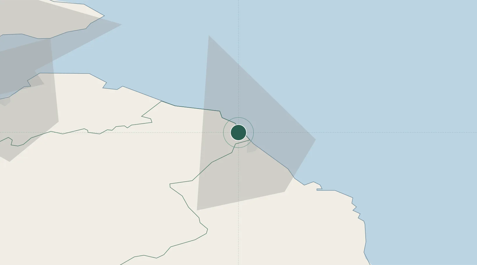
Location
Nearby Logistics Neighbours
Cities
- 1Eyemouth4 km
- 2Berwick-upon-Tweed7 km
- 3Coldingham8 km
- 4Saint Abbs9 km
- 5Milfield18 km
Ports
- 1Eyemouth4 km
- 2Berwick-Upon-Tweed9 km
- 3Dunbar34 km
- 4Warkworth Harbour63 km
- 5Methil70 km
Airports
- 1Leuchars Station Airfield78 km
- 2Edinburgh Airport82 km
- 3Dundee Airport91 km
- 4Newcastle International Airport92 km
- 5RAF Spadeadam92 km
Trade Zones
DatabookThe Record of Consolidated Knowledge
United Kingdom beyond logistics?