UN/LOCODE hub · United Kingdom
GBEYM
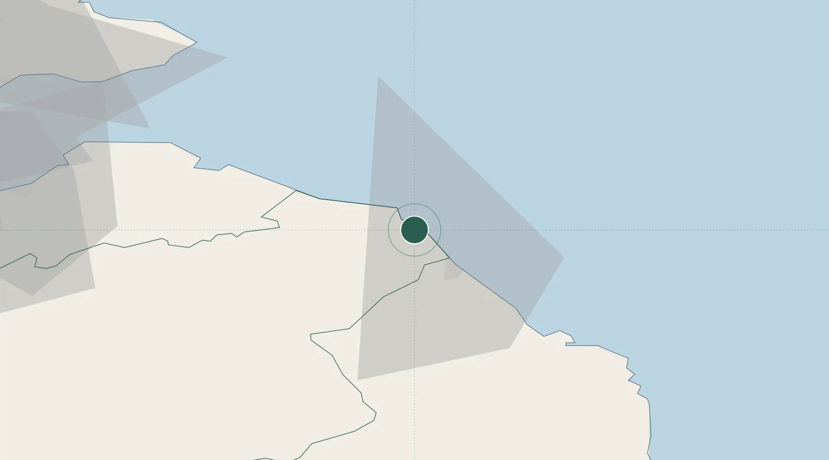
Eyemouth
55.8667°, -2.1000°
3,430
Population
2
Transport functions
Transport Functions
Port
Road
Hub Profile
Place type
Populated place
Region
Scotland
Population
3,430
Time zone
Europe/London
Elevation
11 m
Location
Nearby Logistics Neighbours
Cities
- 1Saint Abbs4 km
- 2Burnmouth4 km
- 3Coldingham5 km
- 4Berwick-upon-Tweed11 km
- 5Milfield14 km
Ports
- 1Berwick-Upon-Tweed13 km
- 2Dunbar30 km
- 3Methil66 km
- 4Warkworth Harbour68 km
- 5Leith69 km
Airports
- 1Leuchars Station Airfield74 km
- 2Edinburgh Airport80 km
- 3Dundee Airport87 km
- 4RAF Spadeadam95 km
- 5Newcastle International Airport96 km
Trade Zones
DatabookThe Record of Consolidated Knowledge
United Kingdom beyond logistics?