Transport Functions
Multimodal
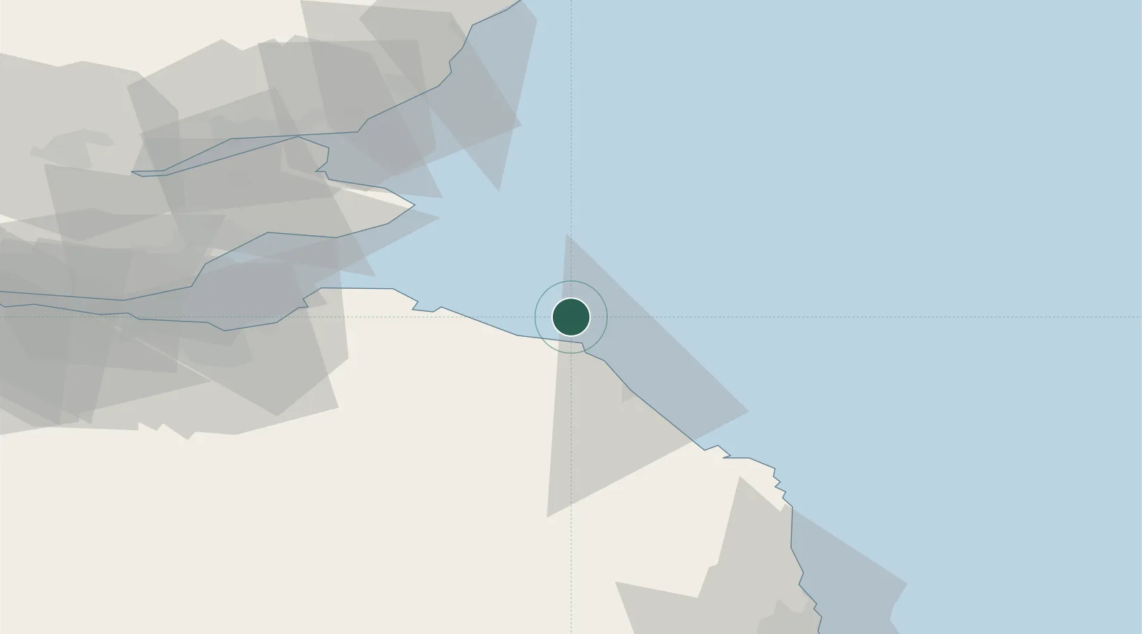
Hub Profile
Place type
Populated place
Region
England
Time zone
Europe/London
Elevation
46 m
Location
Nearby Logistics Neighbours
Cities
- 1Saint Abbs10 km
- 2Coldingham11 km
- 3Cove13 km
- 4Cove (Leith)13 km
- 5Eyemouth14 km
Ports
- 1Eyemouth14 km
- 2Dunbar22 km
- 3Berwick-Upon-Tweed26 km
- 4Methil56 km
- 5Leith63 km
Airports
- 1Leuchars Station Airfield61 km
- 2Dundee Airport75 km
- 3Edinburgh Airport75 km
- 4RAF Spadeadam107 km
- 5Newcastle International Airport109 km
Trade Zones
DatabookThe Record of Consolidated Knowledge
United Kingdom beyond logistics?