Transport Functions
Port
Rail
Road
Hub Profile
Place type
Populated place
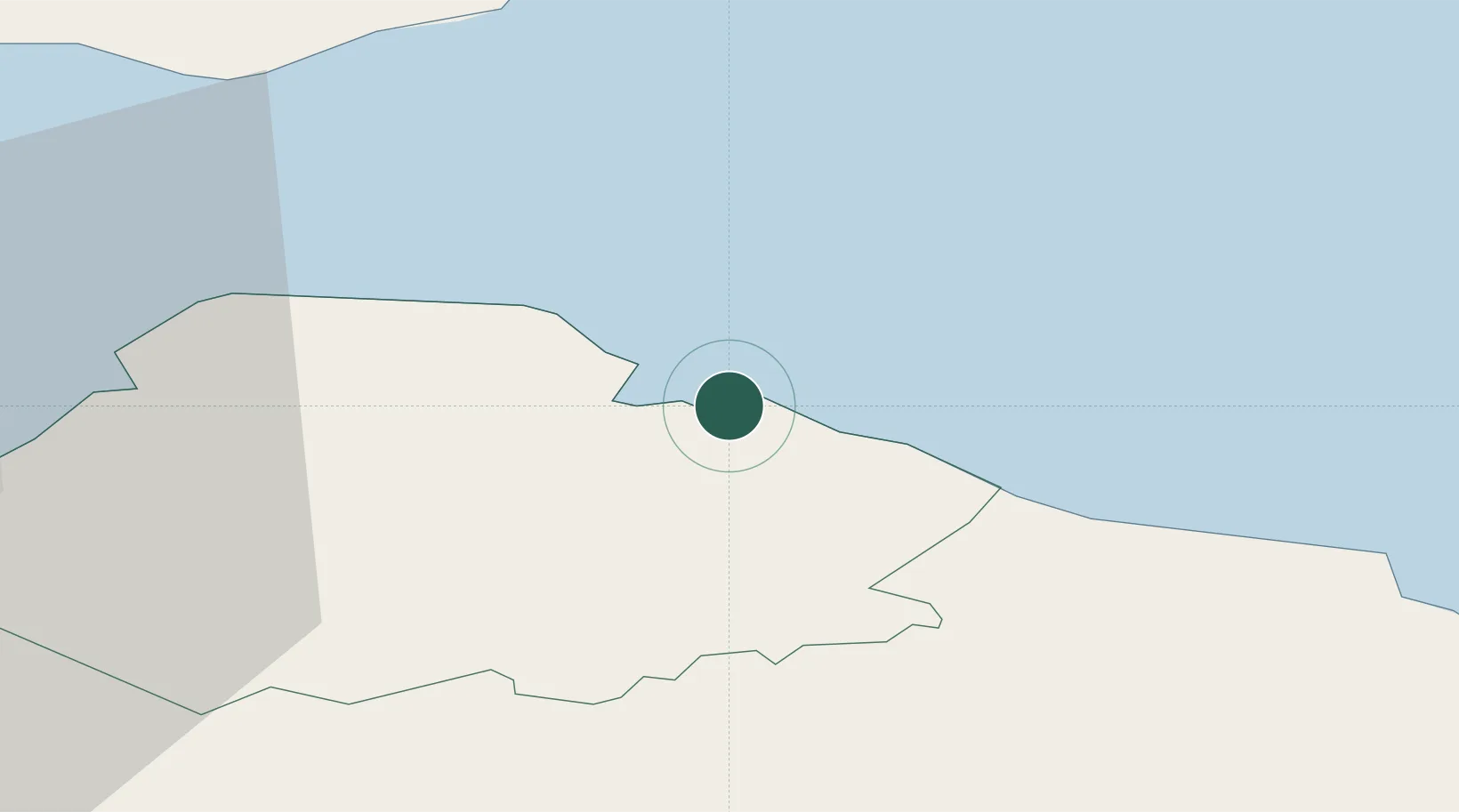
Region
Scotland
Population
8,470
Time zone
Europe/London
Elevation
21 m
Location
Nearby Logistics Neighbours
Cities
- 1Cockburnspath12 km
- 2Cove13 km
- 3Cove (Leith)13 km
- 4North Berwick15 km
- 5Gullane19 km
Ports
- 1Eyemouth31 km
- 2Methil36 km
- 3Berwick-Upon-Tweed41 km
- 4Leith42 km
- 5Granton44 km
Airports
- 1Leuchars Station Airfield47 km
- 2Edinburgh Airport54 km
- 3Dundee Airport59 km
- 4RAF Spadeadam106 km
- 5Newcastle International Airport119 km
Trade Zones
DatabookThe Record of Consolidated Knowledge
United Kingdom beyond logistics?