Transport Functions
Multimodal
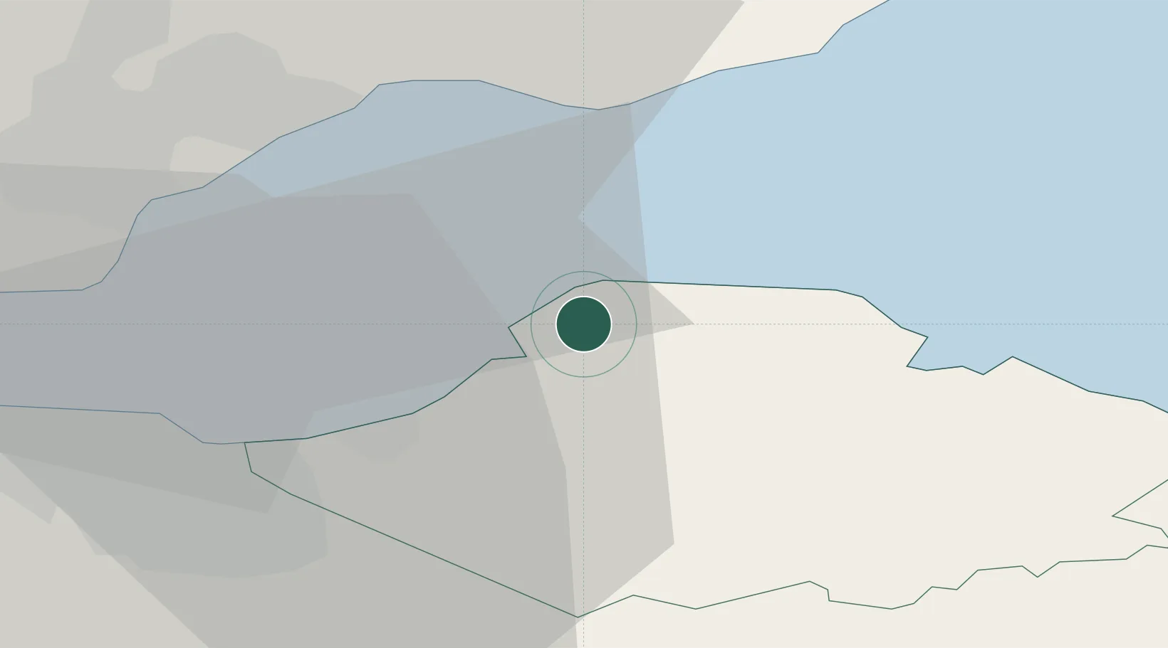
Hub Profile
Place type
Populated place
Region
Scotland
Population
2,570
Time zone
Europe/London
Elevation
34 m
Location
Nearby Logistics Neighbours
Cities
- 1North Berwick7 km
- 2Port Seton11 km
- 3Macmerry12 km
- 4Cockenzie12 km
- 5Elie19 km
Ports
- 1Dunbar19 km
- 2Methil20 km
- 3Leith24 km
- 4Granton26 km
- 5Burntisland26 km
Airports
- 1Edinburgh Airport36 km
- 2Leuchars Station Airfield38 km
- 3Dundee Airport48 km
- 4Glasgow Airport102 km
- 5RAF Spadeadam111 km
Trade Zones
DatabookThe Record of Consolidated Knowledge
United Kingdom beyond logistics?