UN/LOCODE hub · United Kingdom
GBNBW
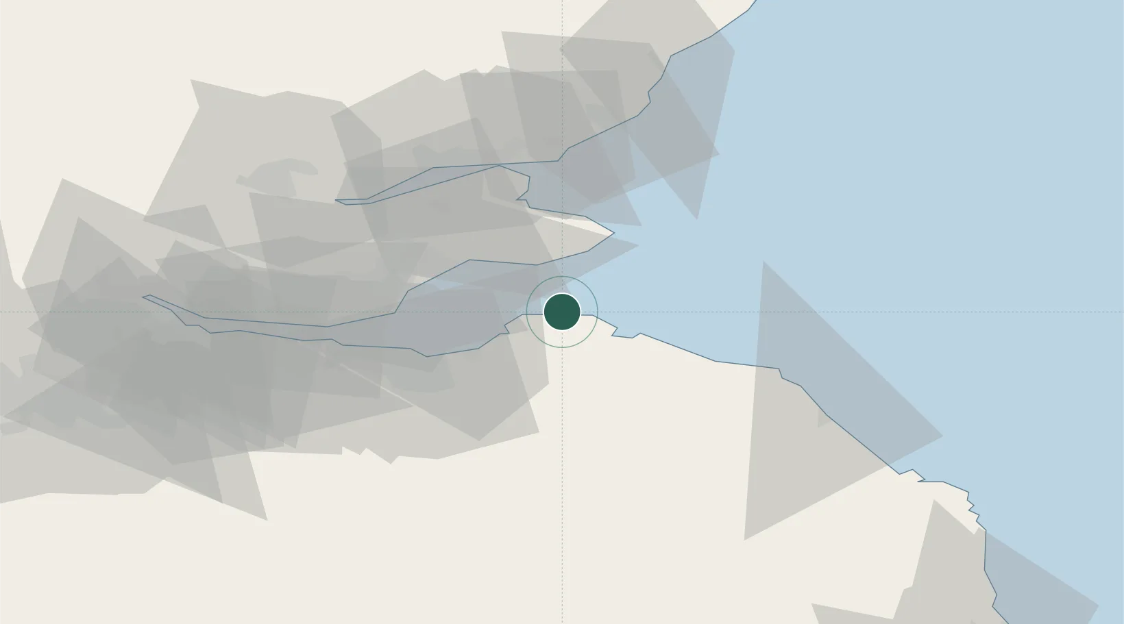
North Berwick
56.0667°, -2.7167°
6,650
Population
3
Transport functions
Transport Functions
Port
Rail
Road
Hub Profile
Place type
Populated place
Region
Scotland
Population
6,650
Time zone
Europe/London
Elevation
8 m
Location
Nearby Logistics Neighbours
Cities
- 1Gullane7 km
- 2Dunbar15 km
- 3Elie16 km
- 4Pittenweem17 km
- 5Anstruther17 km
Ports
- 1Dunbar15 km
- 2Methil22 km
- 3Leith30 km
- 4Burntisland32 km
- 5Granton32 km
Airports
- 1Leuchars Station Airfield35 km
- 2Edinburgh Airport43 km
- 3Dundee Airport47 km
- 4Glasgow Airport109 km
- 5RAF Spadeadam114 km
Trade Zones
DatabookThe Record of Consolidated Knowledge
United Kingdom beyond logistics?