Transport Functions
Rail
Road
Hub Profile
Place type
Populated place
Region
Scotland
Time zone
Europe/London
Elevation
74 m
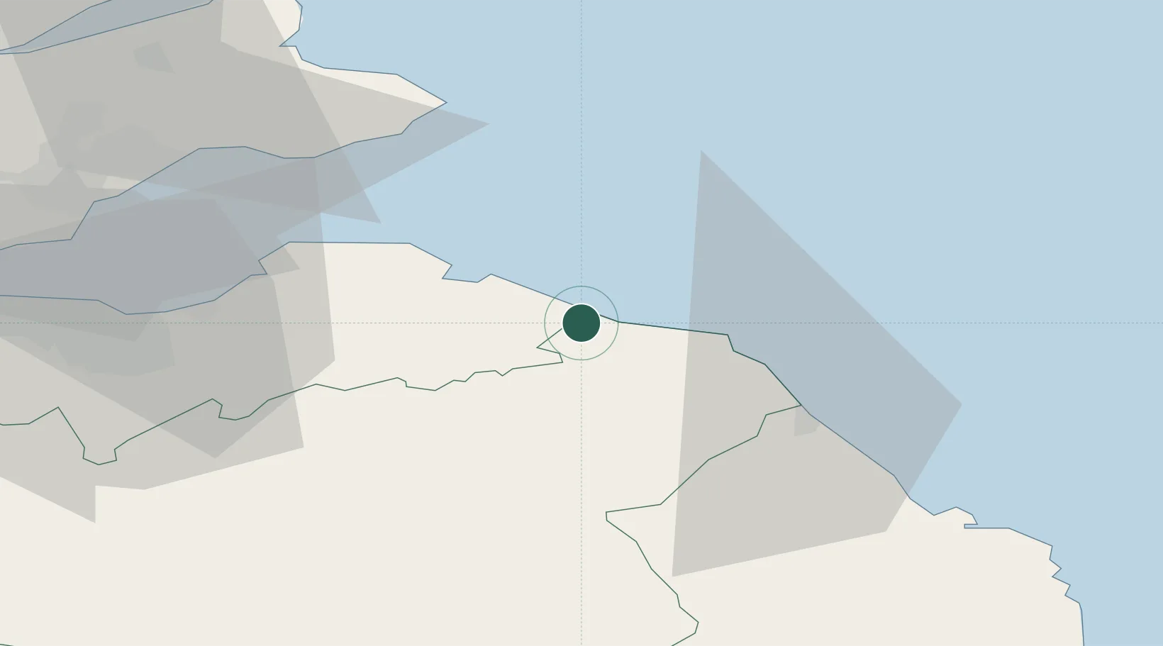
Location
Nearby Logistics Neighbours
Cities
- 1Cove1 km
- 2Cove (Leith)1 km
- 3Dunbar12 km
- 4Milfield14 km
- 5Coldingham14 km
Ports
- 1Dunbar12 km
- 2Eyemouth19 km
- 3Berwick-Upon-Tweed29 km
- 4Methil48 km
- 5Leith51 km
Airports
- 1Leuchars Station Airfield58 km
- 2Edinburgh Airport63 km
- 3Dundee Airport71 km
- 4RAF Spadeadam99 km
- 5Newcastle International Airport108 km
Trade Zones
DatabookThe Record of Consolidated Knowledge
United Kingdom beyond logistics?