Transport Functions
Port
Hub Profile
Region
EDH
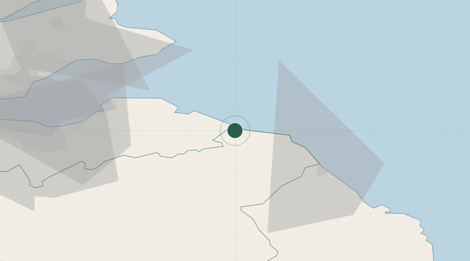
Location
Nearby Logistics Neighbours
Cities
- 1Cove0 km
- 2Cockburnspath1 km
- 3Milfield13 km
- 4Coldingham13 km
- 5Dunbar13 km
Ports
- 1Dunbar13 km
- 2Eyemouth18 km
- 3Berwick-Upon-Tweed29 km
- 4Methil49 km
- 5Leith52 km
Airports
- 1Leuchars Station Airfield59 km
- 2Edinburgh Airport64 km
- 3Dundee Airport71 km
- 4RAF Spadeadam99 km
- 5Newcastle International Airport108 km
Trade Zones
DatabookThe Record of Consolidated Knowledge
United Kingdom beyond logistics?