Transport Functions
Port
Road
Hub Profile
Place type
Populated place
Region
Northern Ireland
Time zone
Europe/London
Elevation
14 m
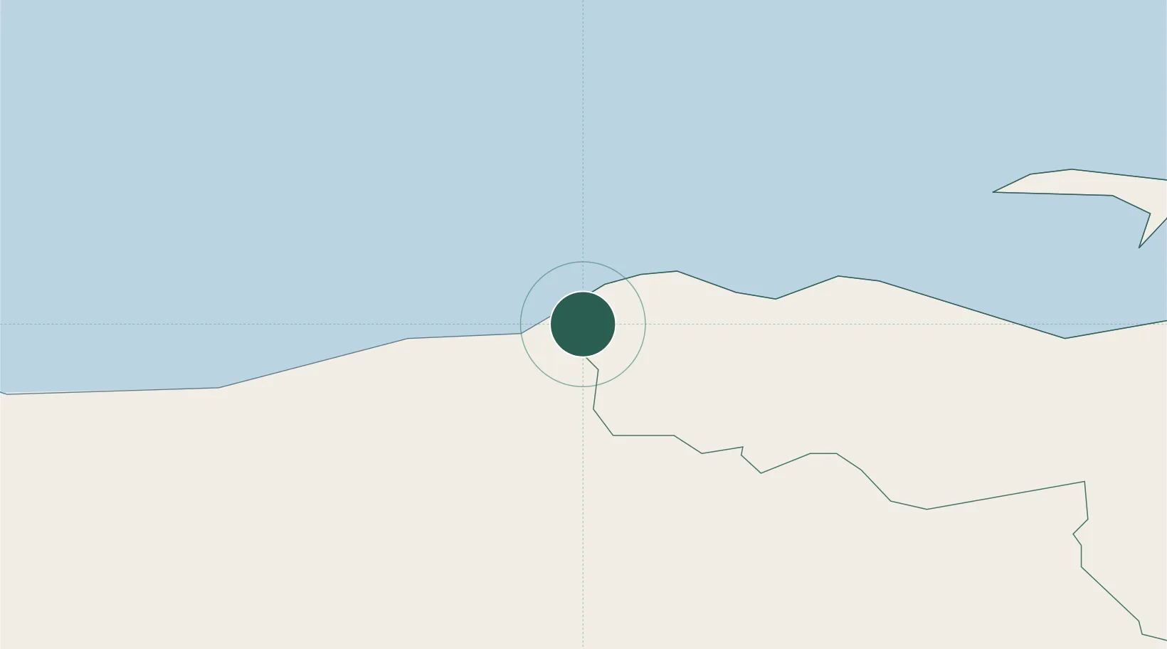
Location
Nearby Logistics Neighbours
Cities
- 1Dunseverick6 km
- 2Ballintoy12 km
- 3Portstewart12 km
- 4Ahoghill21 km
- 5Church Bay, Rathlin Island23 km
Ports
- 1Coleraine13 km
- 2Port Ellen51 km
- 3Londonderry55 km
- 4Larne62 km
- 5Campbeltown64 km
Airports
- 1City of Derry Airport44 km
- 2Islay Airport55 km
- 3Campbeltown Airport59 km
- 4Belfast International Airport65 km
- 5George Best Belfast City Airport79 km
Trade Zones
DatabookThe Record of Consolidated Knowledge
United Kingdom beyond logistics?