Channel & Berth Profile
Pilotage, Tugs & Services
Pilotage compulsoryYES
Pilotage availableYES
Tug assistanceYES
Diesel bunkersYES
Facilities & Capabilities
ContainerNO
Ro-RoNO
Liquid bulkYES
Dry bulkNO
Oil terminalYES
Break bulkNO
Dry dock—
Repairs—
BunkeringYES
Rail linkYES
Dangerous cargo—
ISPS securityYES
Harbour Specifications
Harbour size
Small
Harbour type
Coastal (Natural)
Shelter
Fair
Water body
North Atlantic Ocean
Tidal range
2 m
Pilotage
Yes
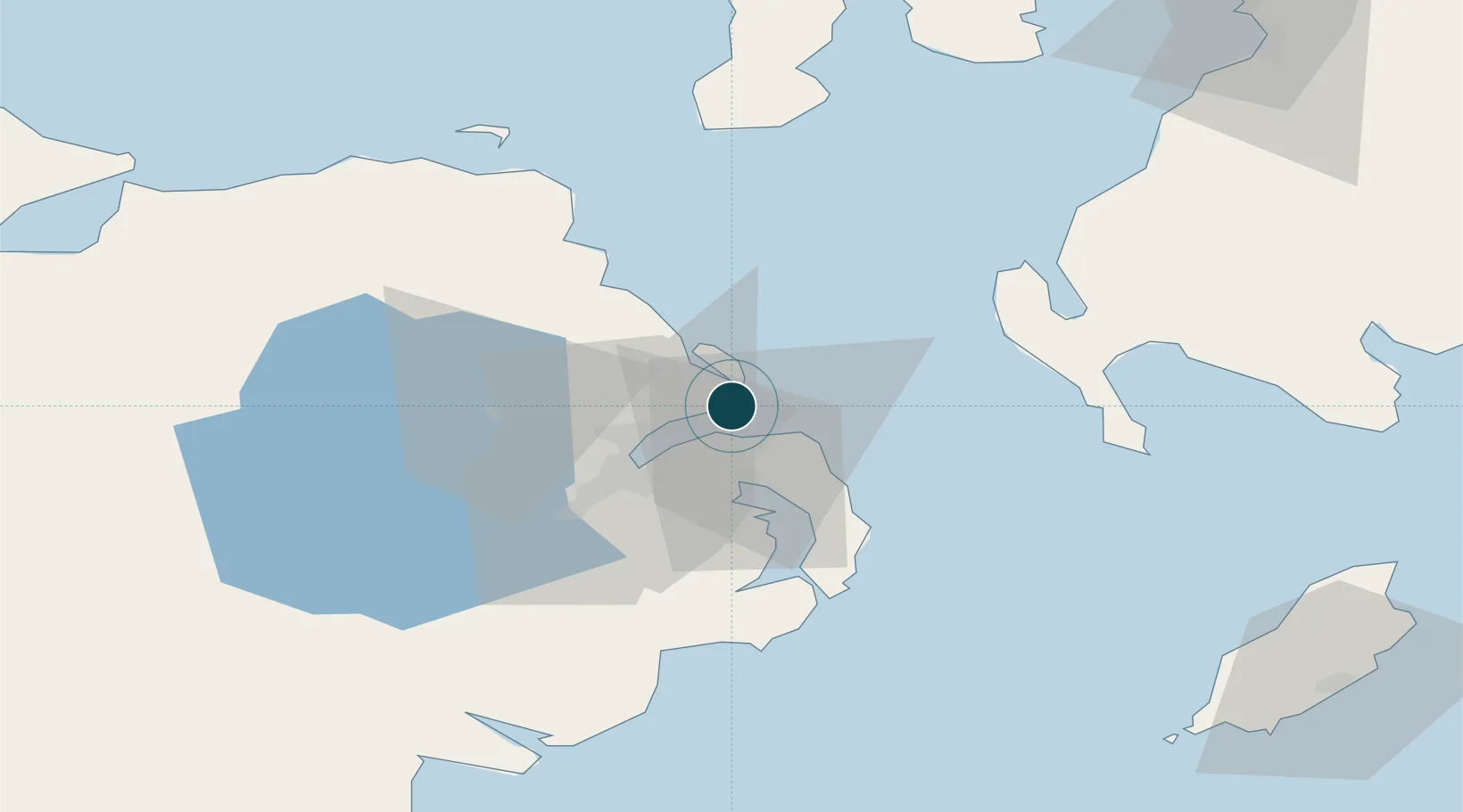
Location
Nearby Logistics Neighbours
Cities
- 1Whitehead2 km
- 2Acharacle4 km
- 3Cloghan Point/Carrickfergus7 km
- 4Islandmagee9 km
- 5Groomsport10 km
Airports
- 1George Best Belfast City Airport16 km
- 2Belfast International Airport33 km
- 3Campbeltown Airport78 km
- 4City of Derry Airport99 km
- 5Isle of Man Airport101 km
Trade Zones
DatabookThe Record of Consolidated Knowledge
United Kingdom beyond logistics?