Transport Functions
Multimodal
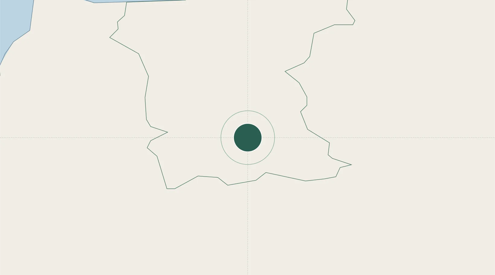
Hub Profile
Place type
Populated place
Region
Northern Ireland
Population
1,372
Time zone
Europe/London
Elevation
66 m
Location
Nearby Logistics Neighbours
Cities
- 1Draperstown21 km
- 2Portstewart23 km
- 3Portballintrae27 km
- 4Comber29 km
- 5Magilligan Point Ferry Terminal, Lough Foyle29 km
Ports
- 1Coleraine17 km
- 2Londonderry42 km
- 3Rathmullan57 km
- 4Larne57 km
- 5Belfast64 km
Airports
- 1City of Derry Airport32 km
- 2Belfast International Airport46 km
- 3George Best Belfast City Airport65 km
- 4Campbeltown Airport80 km
- 5Islay Airport82 km
Trade Zones
DatabookThe Record of Consolidated Knowledge
United Kingdom beyond logistics?