Transport Functions
Port
Hub Profile
Place type
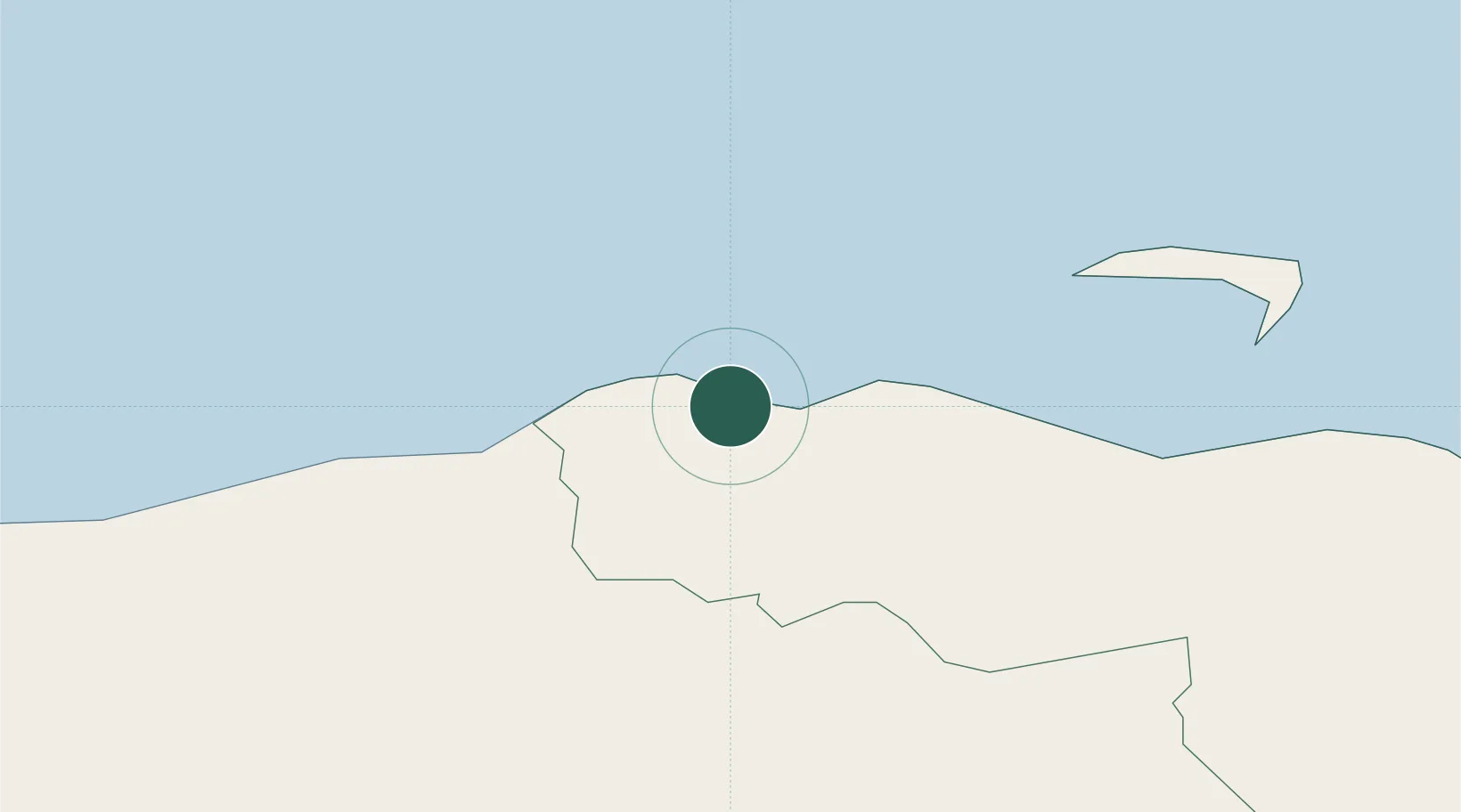
Populated place
Region
Northern Ireland
Time zone
Europe/London
Elevation
40 m
Location
Nearby Logistics Neighbours
Cities
- 1Portballintrae6 km
- 2Ballintoy6 km
- 3Church Bay, Rathlin Island18 km
- 4Portstewart18 km
- 5Ahoghill21 km
Ports
- 1Coleraine18 km
- 2Port Ellen47 km
- 3Campbeltown58 km
- 4Larne59 km
- 5Londonderry61 km
Airports
- 1City of Derry Airport50 km
- 2Islay Airport51 km
- 3Campbeltown Airport53 km
- 4Belfast International Airport66 km
- 5George Best Belfast City Airport78 km
Trade Zones
DatabookThe Record of Consolidated Knowledge
United Kingdom beyond logistics?