UN/LOCODE hub · United Kingdom
GBBEL
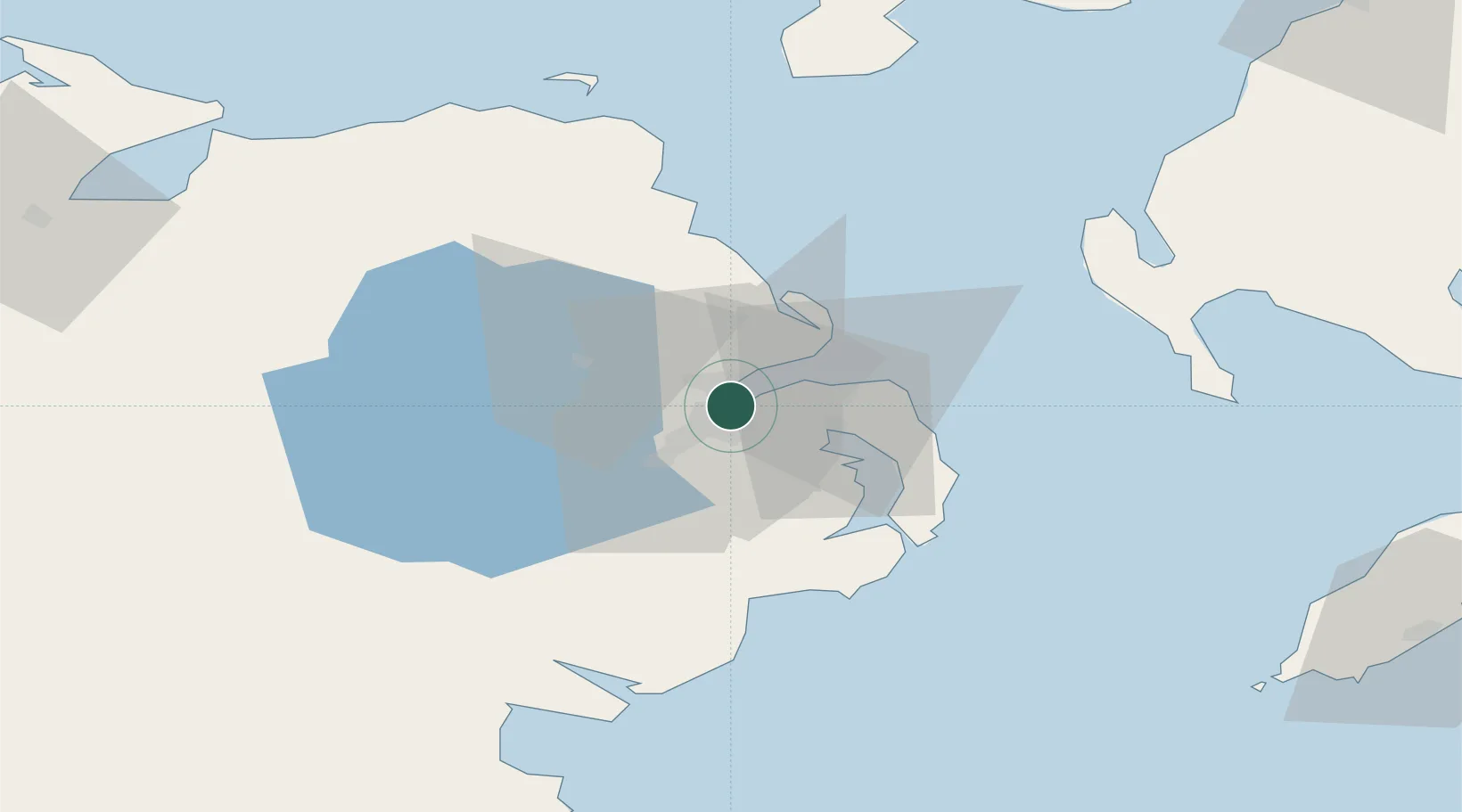
Belfast
54.6265°, -5.8993°
348,005
Population
3
Transport functions
1
Container terminals
Transport Functions
Port
Airport
Multimodal
Hub Profile
Place type
Regional capital
Region
Northern Ireland
Population
348,005
Time zone
Europe/London
Elevation
7 m
Logistics facilities
5
Container terminals
1
Location
Nearby Logistics Neighbours
Cities
- 1Newtonabbey3 km
- 2Newtownabbey5 km
- 3Holywood5 km
- 4Cloghan Point/Carrickfergus10 km
- 5Dunmurry11 km
Ports
- 1Bangor15 km
- 2Kilroot17 km
- 3Larne26 km
- 4Ardglass44 km
- 5Warren Point63 km
Airports
- 1George Best Belfast City Airport2 km
- 2Belfast International Airport21 km
- 3Campbeltown Airport91 km
- 4City of Derry Airport93 km
- 5Isle of Man Airport102 km
Trade Zones
DatabookThe Record of Consolidated Knowledge
United Kingdom beyond logistics?