UN/LOCODE hub · United Kingdom
GBYLW
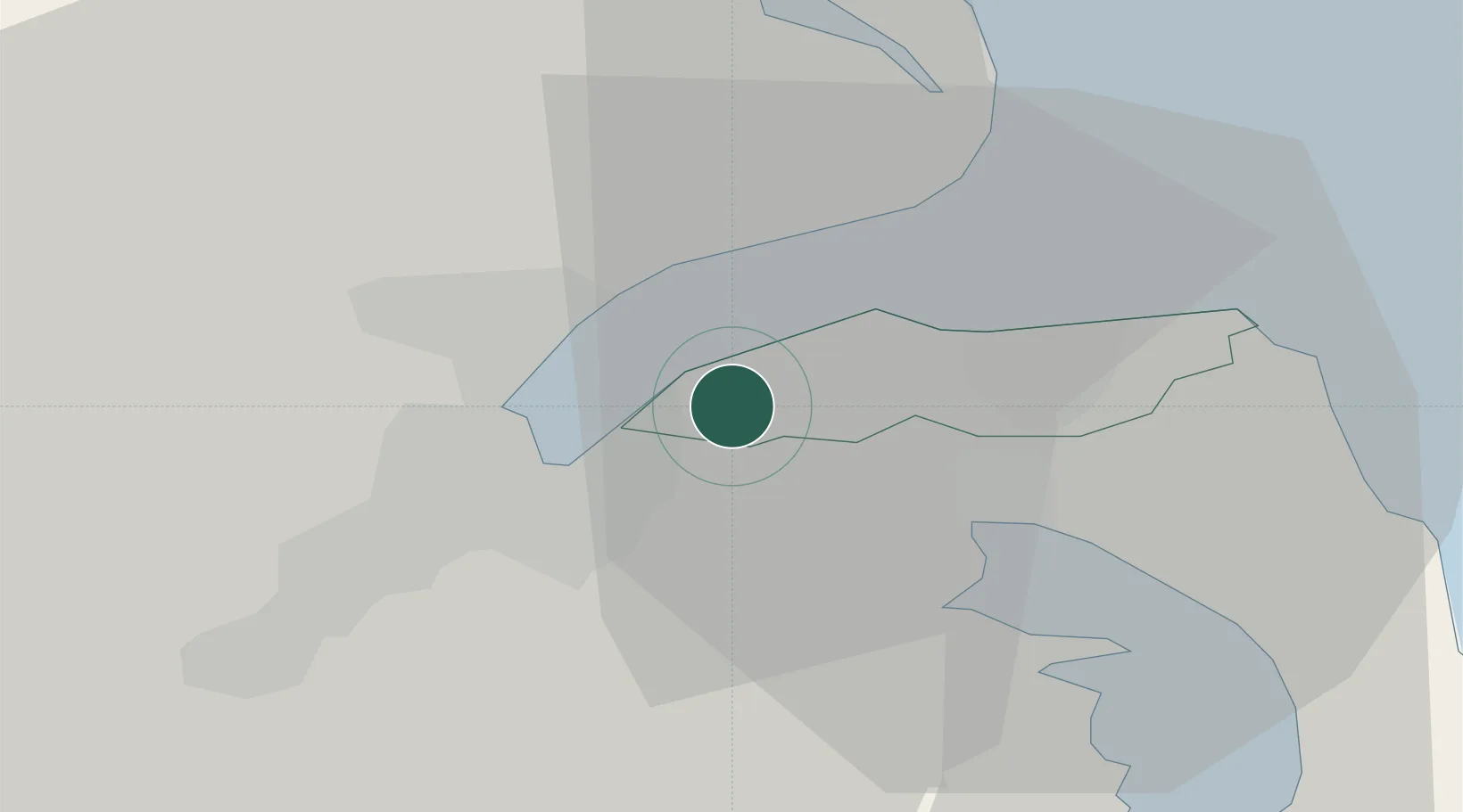
Holywood
54.6333°, -5.8167°
13,109
Population
2
Transport functions
Transport Functions
Port
Road
Hub Profile
Place type
Populated place
Region
Northern Ireland
Population
13,109
Time zone
Europe/London
Elevation
44 m
Location
Nearby Logistics Neighbours
Cities
- 1Newtownabbey5 km
- 2Belfast5 km
- 3Cloghan Point/Carrickfergus8 km
- 4Newtonabbey8 km
- 5Acharacle11 km
Airports
Trade Zones
DatabookThe Record of Consolidated Knowledge
United Kingdom beyond logistics?