Transport Functions
Port
Rail
Road
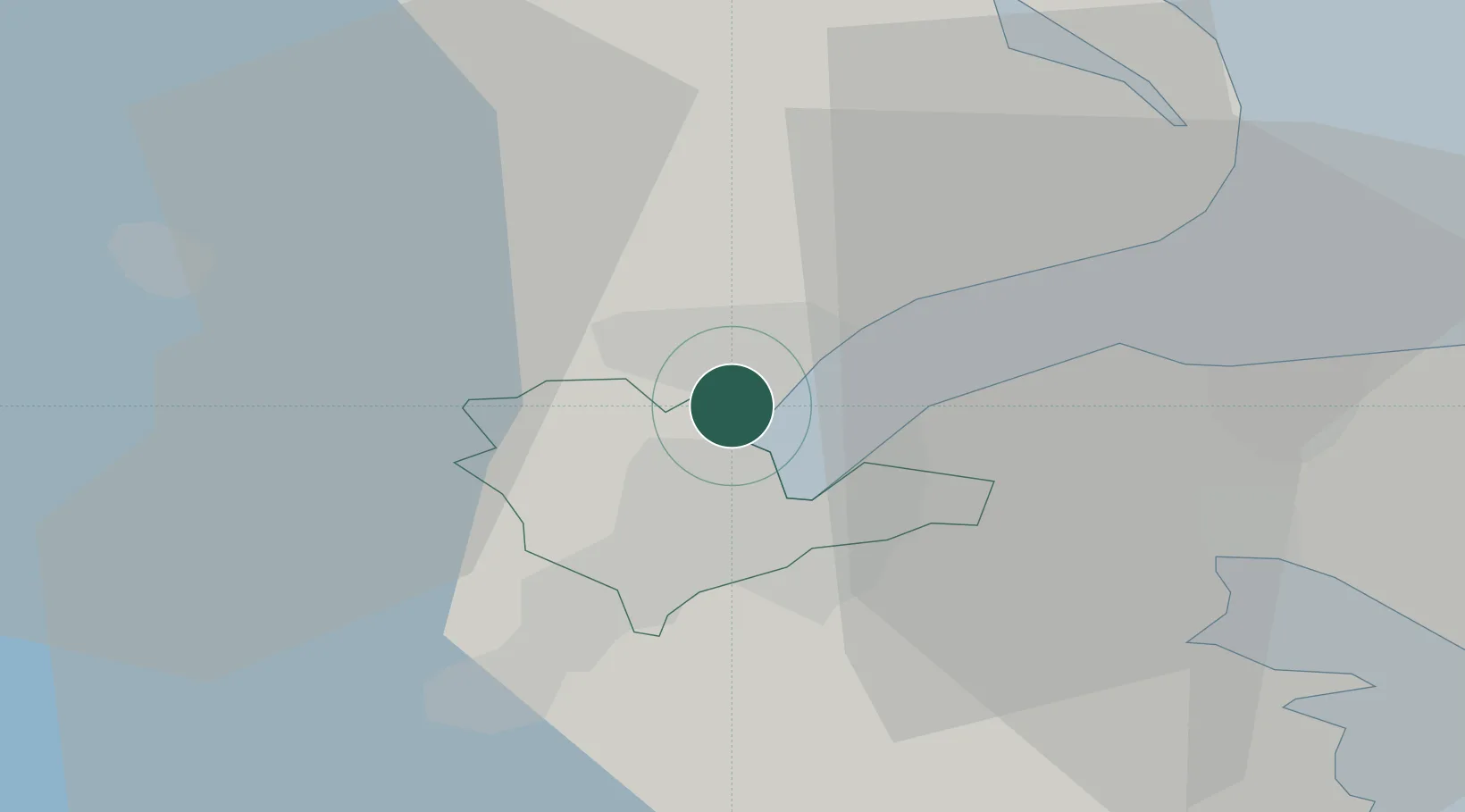
Location
Nearby Logistics Neighbours
Cities
- 1Belfast3 km
- 2Newtownabbey5 km
- 3Holywood8 km
- 4Cloghan Point/Carrickfergus10 km
- 5Dunmurry12 km
Airports
- 1George Best Belfast City Airport5 km
- 2Belfast International Airport18 km
- 3Campbeltown Airport89 km
- 4City of Derry Airport90 km
- 5Isle of Man Airport106 km
Trade Zones
DatabookThe Record of Consolidated Knowledge
Ireland beyond logistics?