UN/LOCODE hub · United Kingdom
GBCGP

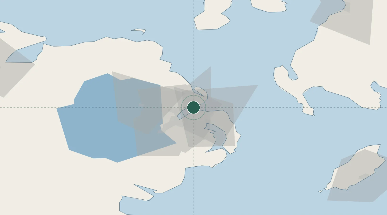
Cloghan Point/Carrickfergus

54.7000°, -5.8000°
2
Transport functions

Transport Functions

Port
Road
UN/LOCODE

Hub Profile

Region
CKF
GeoNames

Location

Location of GBCGP
Natural Earth 10m (public domain) · CKF · GBCGP · 54.70, -5.80GoogleOSMYandex

Nearby Logistics Neighbours

Cities
  1. 1Acharacle4 km
  2. 2Newtownabbey6 km
  3. 3Holywood8 km
  4. 4Whitehead9 km
  5. 5Newtonabbey10 km
Nearest neighbours — logibook spatial index (haversine) over the source coordinates
Ports
  1. 1Kilroot7 km
  2. 2Bangor10 km
  3. 3Belfast11 km
  4. 4Larne17 km
  5. 5Ardglass50 km
Nearest neighbours — logibook spatial index (haversine) over the source coordinates
Airports
  1. 1George Best Belfast City Airport10 km
  2. 2Belfast International Airport27 km
  3. 3Campbeltown Airport82 km
  4. 4City of Derry Airport95 km
  5. 5Isle of Man Airport103 km
Nearest neighbours — logibook spatial index (haversine) over the source coordinates
Trade Zones
  1. 1Isle of Man Free Zone and Business Park102 km
  2. 2Prestwick Airport Free Zone118 km
  3. 3Dublin International Financial Services Centre153 km
  4. 4Carlisle Kingmoor Park Enterprise Zone184 km
  5. 5Blackpool Enterprise Zone207 km
Nearest neighbours — logibook spatial index (haversine) over the source coordinates
DatabookThe Record of Consolidated Knowledge
United Kingdom beyond logistics?
Browse databook

All Sources

LocationsUN/LOCODE
UN/LOCODE — free
Portsthe NGA World Port Index
Public domain (US gov)
AirportsOurAirports
Public domain
Trade Zonesthe World Bank SEZ database
CC BY 4.0
Trade ZonesOpen Zone Map
CC BY
← United Kingdom locations