Transport Functions
Rail
Road
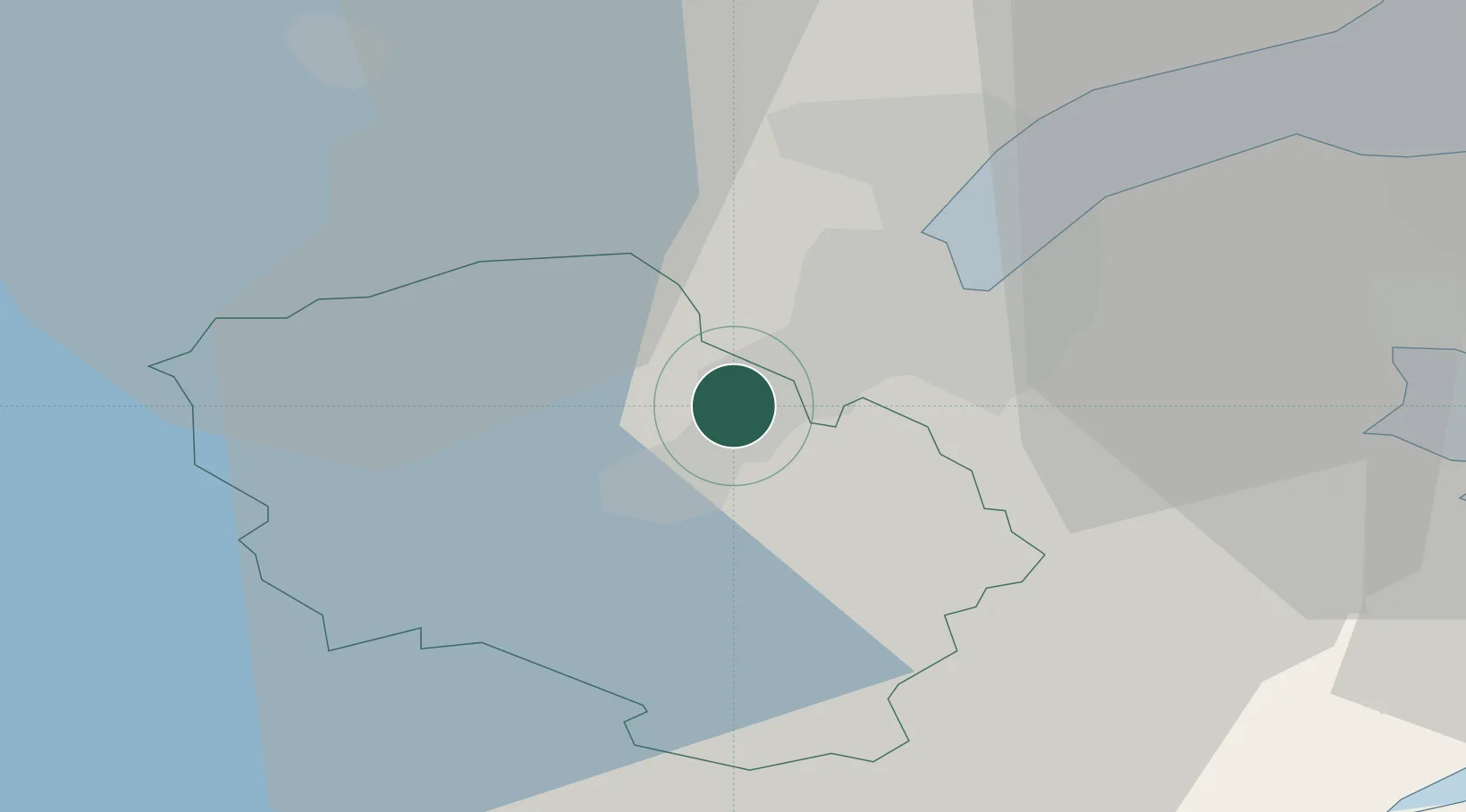
Hub Profile
Place type
Populated place
Region
Northern Ireland
Time zone
Europe/London
Elevation
31 m
Location
Nearby Logistics Neighbours
Cities
- 1Belfast11 km
- 2Newtonabbey12 km
- 3Glenavy13 km
- 4Holywood16 km
- 5Newtownabbey16 km
Airports
- 1George Best Belfast City Airport12 km
- 2Belfast International Airport18 km
- 3City of Derry Airport92 km
- 4Campbeltown Airport101 km
- 5Isle of Man Airport104 km
Trade Zones
DatabookThe Record of Consolidated Knowledge
United Kingdom beyond logistics?