UN/LOCODE hub · United Kingdom
GBNTA
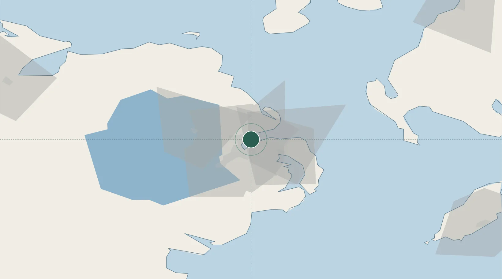
Newtownabbey
54.6667°, -5.8667°
63,860
Population
2
Transport functions
Transport Functions
Rail
Road
Hub Profile
Place type
Provincial seat
Region
Northern Ireland
Population
63,860
Time zone
Europe/London
Elevation
15 m
Location
Nearby Logistics Neighbours
Cities
- 1Newtonabbey5 km
- 2Holywood5 km
- 3Belfast5 km
- 4Cloghan Point/Carrickfergus6 km
- 5Acharacle9 km
Airports
- 1George Best Belfast City Airport5 km
- 2Belfast International Airport23 km
- 3Campbeltown Airport86 km
- 4City of Derry Airport93 km
- 5Isle of Man Airport103 km
Trade Zones
DatabookThe Record of Consolidated Knowledge
United Kingdom beyond logistics?