UN/LOCODE hub · United Kingdom
GBBDF
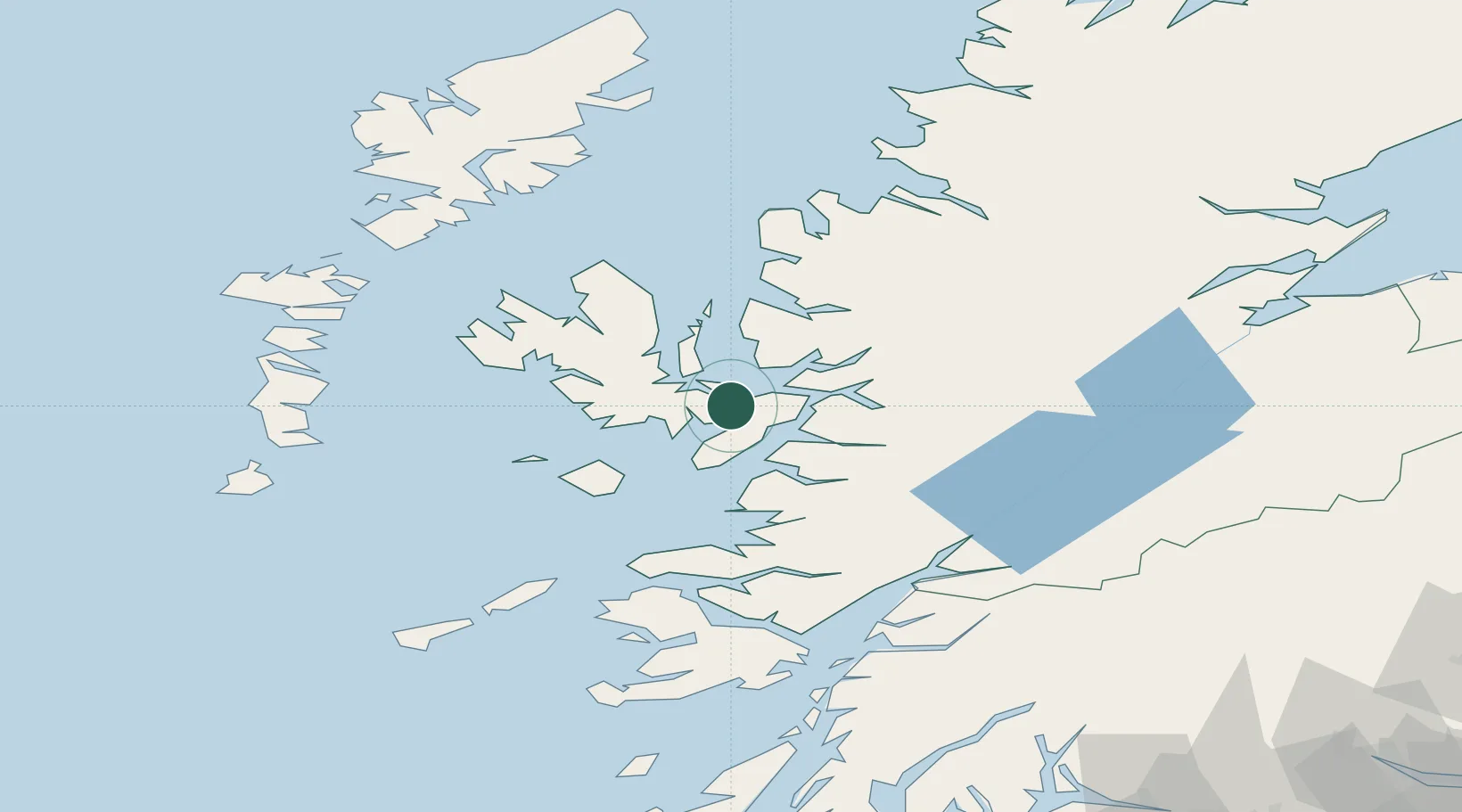
Broadford, Isle of Skye
57.2333°, -5.9000°
2
Transport functions
Transport Functions
Port
Road
Hub Profile
Region
HLD
Location
Nearby Logistics Neighbours
Cities
- 1Kyleakin11 km
- 2Kyle of Lochalsh12 km
- 3Strathaird12 km
- 4Clachan, Raasay15 km
- 5Sconser, Isle of Skye15 km
Ports
- 1Kyleakin11 km
- 2Kyle Of Lochalsh12 km
- 3Plockton19 km
- 4Mallaig26 km
- 5Portree Harbor27 km
Airports
- 1Coll Airport83 km
- 2Oban Airport91 km
- 3Benbecula Airport92 km
- 4Barra Airport96 km
- 5Tiree Airport101 km
Trade Zones
DatabookThe Record of Consolidated Knowledge
United Kingdom beyond logistics?