UN/LOCODE hub · United Kingdom
GBKYL
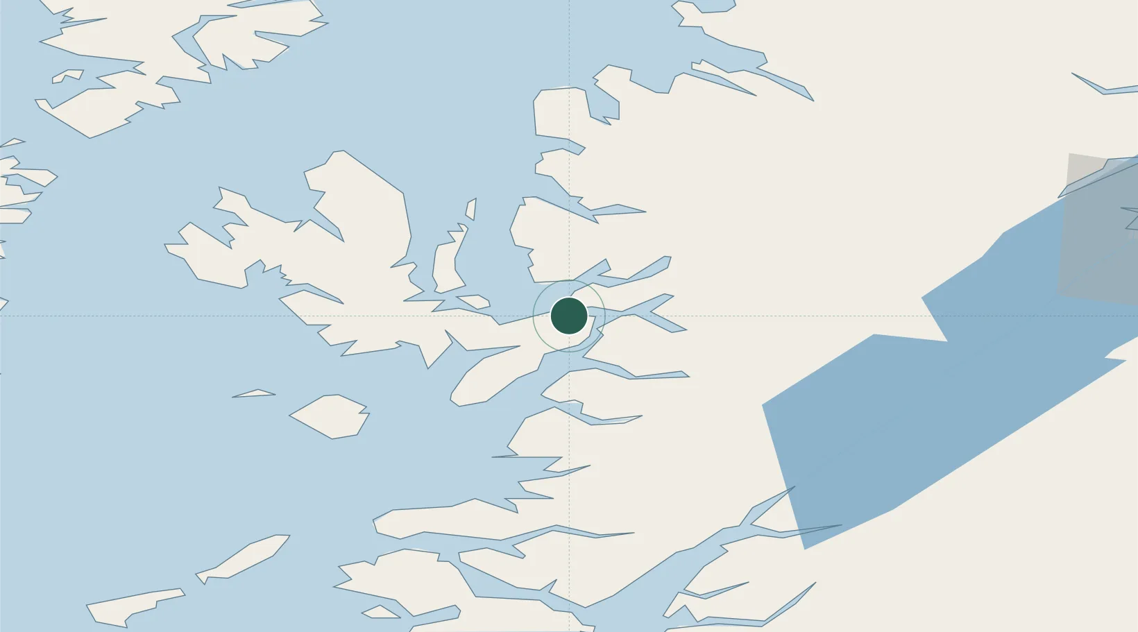
Kyle of Lochalsh
57.2667°, -5.7167°
650
Population
2
Transport functions
Transport Functions
Port
Road
Hub Profile
Place type
Populated place
Region
Scotland
Population
650
Time zone
Europe/London
Elevation
50 m
Location
Nearby Logistics Neighbours
Cities
- 1Kyleakin1 km
- 2Balmacara6 km
- 3Glenelg8 km
- 4Plockton8 km
- 5Broadford, Isle of Skye12 km
Ports
- 1Kyleakin1 km
- 2Plockton8 km
- 3Broadford Bay10 km
- 4Mallaig30 km
- 5Portree Harbor34 km
Airports
- 1Oban Airport91 km
- 2Coll Airport92 km
- 3Benbecula Airport102 km
- 4Inverness Airport105 km
- 5Barra Airport108 km
Trade Zones
DatabookThe Record of Consolidated Knowledge
United Kingdom beyond logistics?