UN/LOCODE hub · United Kingdom
GBSRH

Strathaird

57.1667°, -6.0500°
1
Transport functions

Transport Functions

Port
UN/LOCODE

Hub Profile

Region
HLD
GeoNames

Location

Location of GBSRH
Natural Earth 10m (public domain) · HLD · GBSRH · 57.17, -6.05GoogleOSMYandex

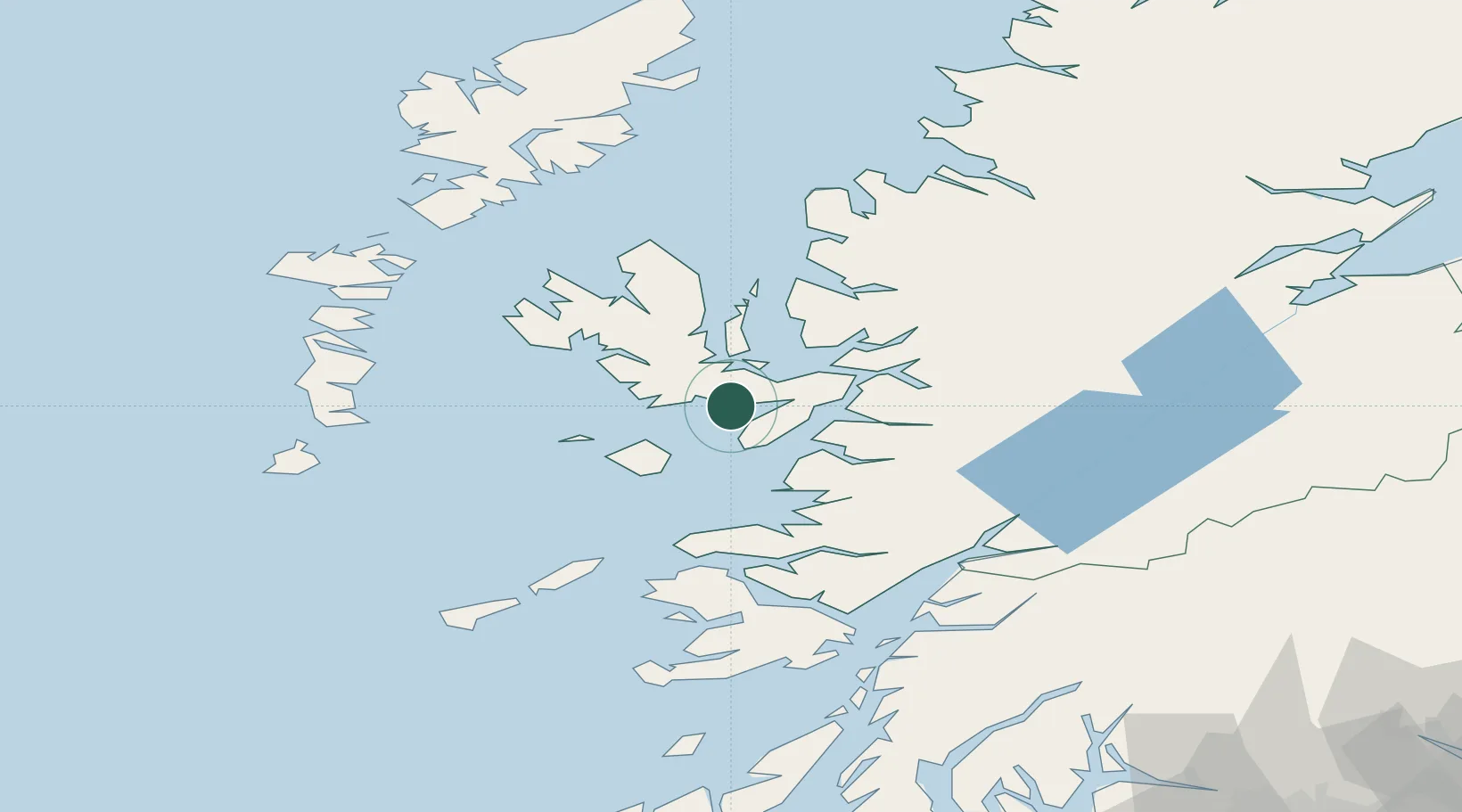
Nearby Logistics Neighbours

Cities
  1. 1Elgol, Isle of Skye4 km
  2. 2Carbost9 km
  3. 3Broadford, Isle of Skye12 km
  4. 4Portnalong13 km
  5. 5Sconser, Isle of Skye15 km
Nearest neighbours — logibook spatial index (haversine) over the source coordinates
Ports
  1. 1Broadford Bay14 km
  2. 2Kyleakin22 km
  3. 3Mallaig23 km
  4. 4Kyle Of Lochalsh24 km
  5. 5Portree Harbor29 km
Nearest neighbours — logibook spatial index (haversine) over the source coordinates
Airports
  1. 1Coll Airport72 km
  2. 2Barra Airport86 km
  3. 3Benbecula Airport86 km
  4. 4Oban Airport88 km
  5. 5Tiree Airport89 km
Nearest neighbours — logibook spatial index (haversine) over the source coordinates
Trade Zones
  1. 1Prestwick Airport Free Zone205 km
  2. 2Carlisle Kingmoor Park Enterprise Zone314 km
  3. 3Isle of Man Free Zone and Business Park353 km
  4. 4Blackpool Enterprise Zone423 km
  5. 5Hillhouse Enterprise Zone424 km
Nearest neighbours — logibook spatial index (haversine) over the source coordinates
DatabookThe Record of Consolidated Knowledge
United Kingdom beyond logistics?
Browse databook

All Sources

LocationsUN/LOCODE
UN/LOCODE — free
Portsthe NGA World Port Index
Public domain (US gov)
AirportsOurAirports
Public domain
Trade Zonesthe World Bank SEZ database
CC BY 4.0
Trade ZonesOpen Zone Map
CC BY
← United Kingdom locations